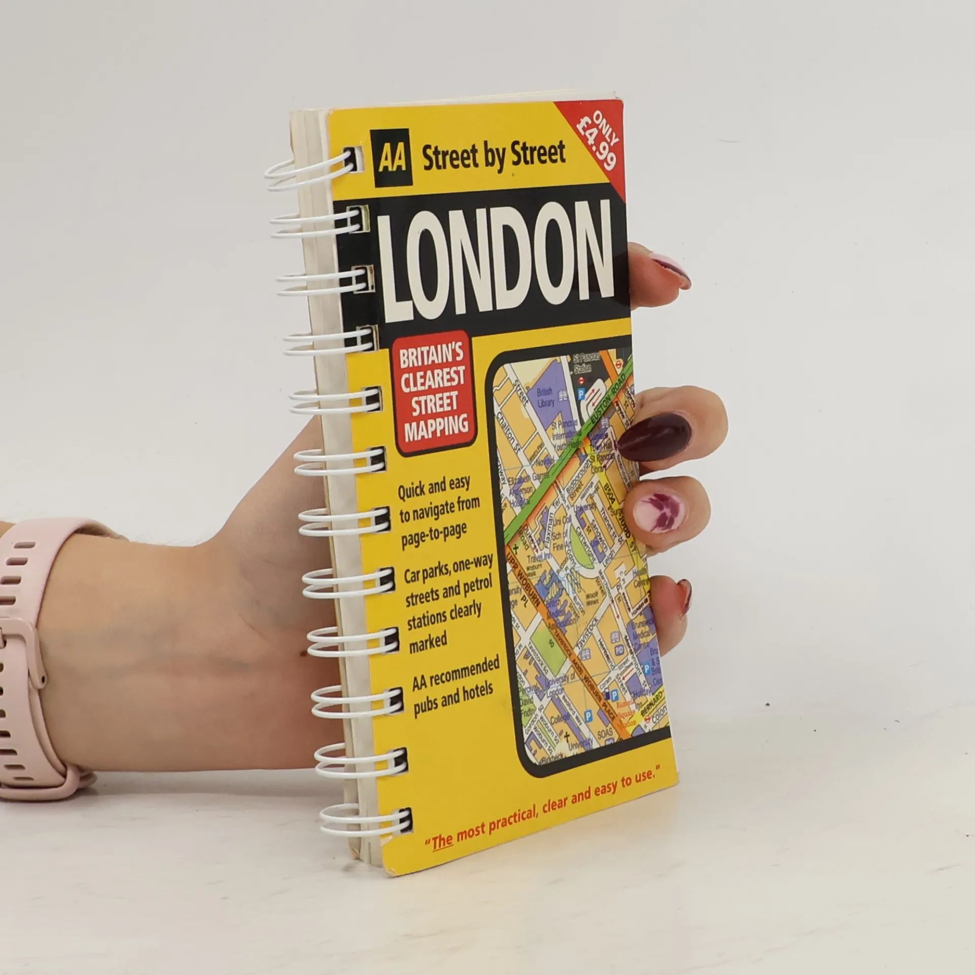
London Guide
- 120 Seiten
- 5 Lesestunden



Book by Automobile Association (Great Britain)
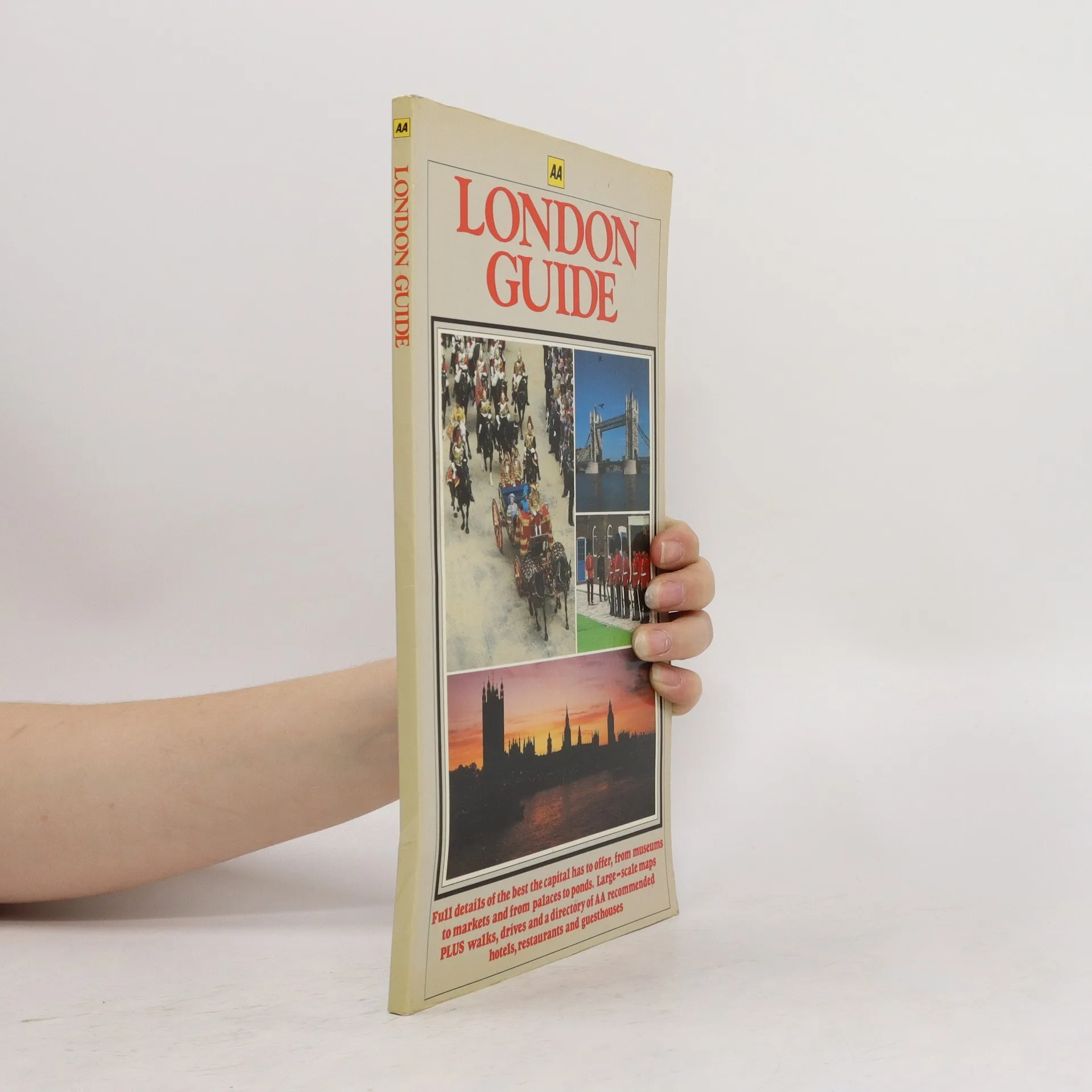
A new edition in the AA's ground breaking series of street atlases, covering London in a handy pocket size. With an enlarged scale for Central London, this really is Britain's clearest street mapping. The atlas uses the latest digital data for Britain from Ordnance Survey and the AA and also includes National Grid Referencing as used by the emergency services. All of the maps clearly show recommended restaurants, hotels, one-way streets and car parks with 24-hour petrol stations now highlighted. Featuring a clever use of colour to ensure they can be read under street lighting, these maps are all you need to keep you on the move.
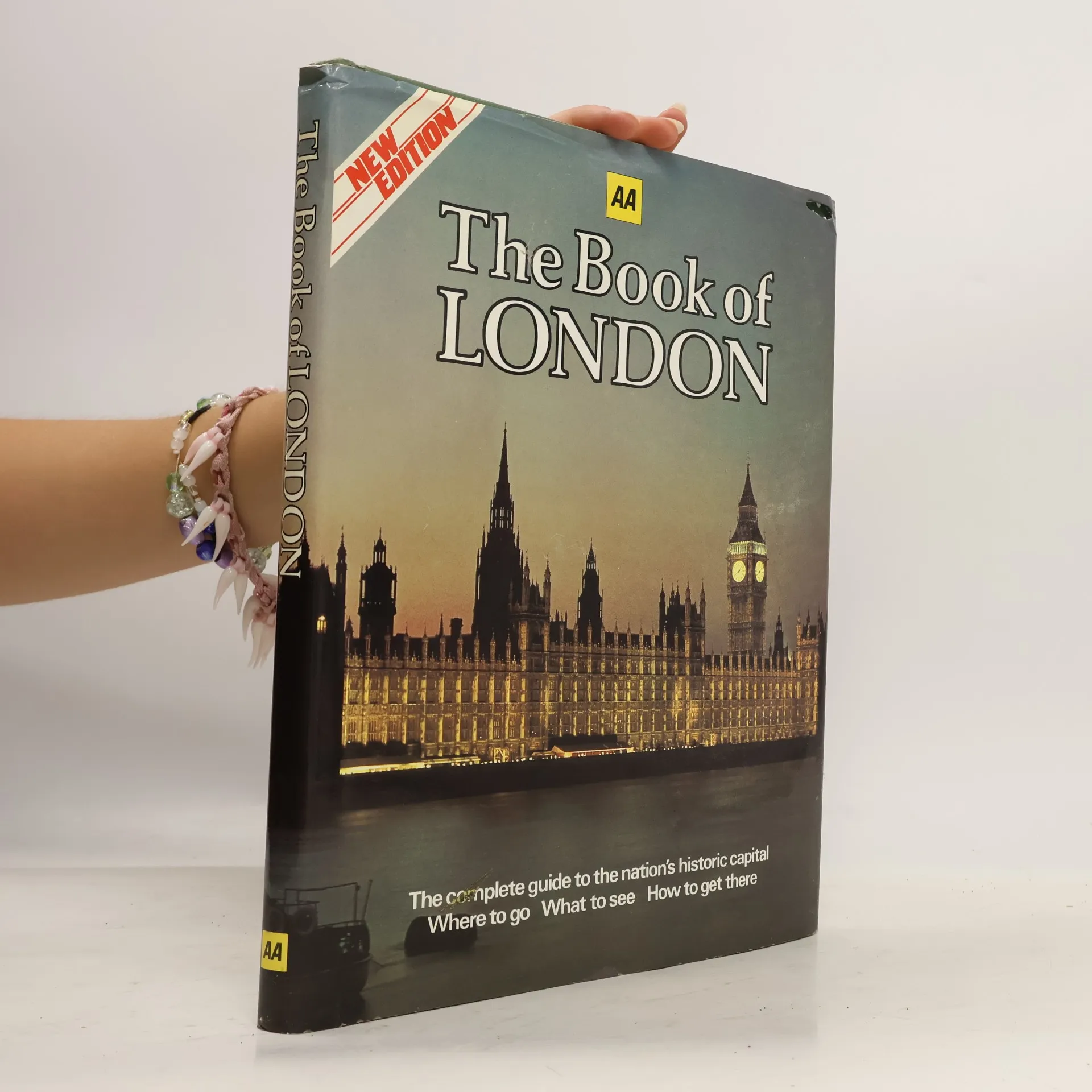
The Complete Guide to the Nation's Historic Capital: Where to Go, What to See, How to Get There - New Edition
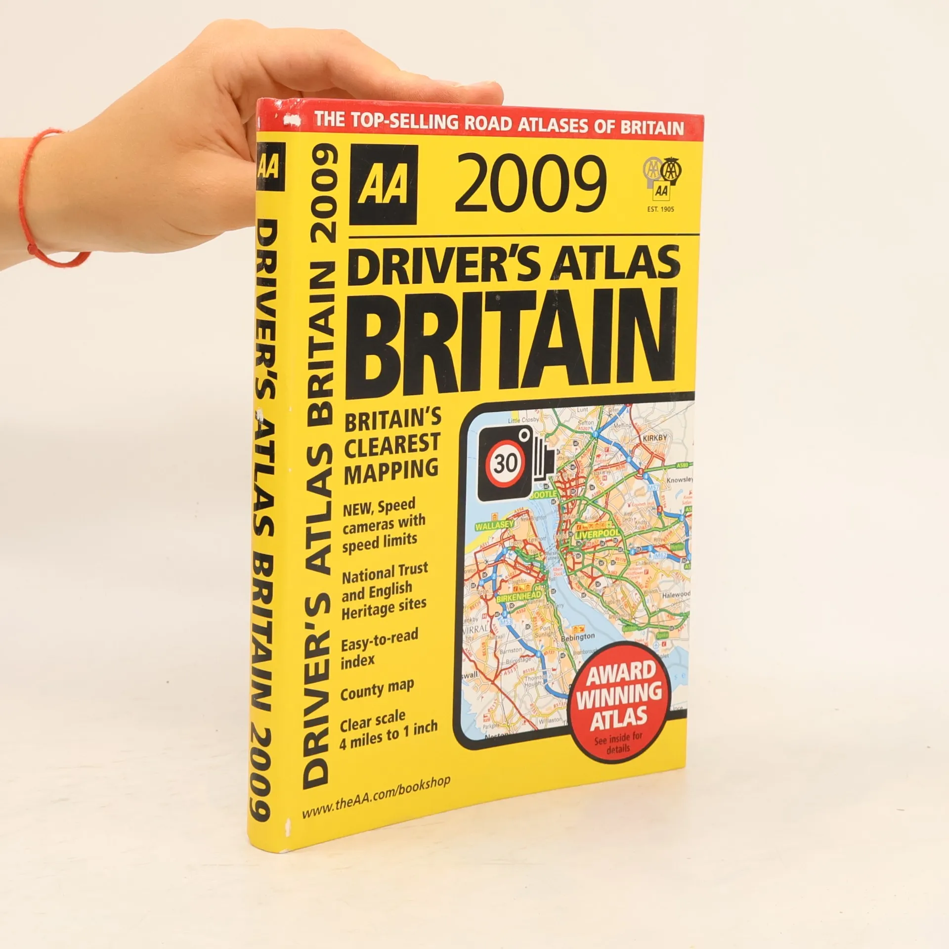
This handy, flexibound glovebox-sized road atlas combines large scale mapping with an easy-to-carry A5 format. Each page has been titled with its geographical location so you can turn to the page you need more easily. Static speed camera locations with speed limits are pinpointed on the mapping. There is also a full-color county, unitary, and administrative area map; easy-to-use mileage chart; and clear easy-to-read index with more than 23,000 place names including airports, top tourist sites, and motorway services listed. Wide minor roads and National Trust, English, and World Heritage sites are also shown. The paper in this atlas is produced from environmentally sustainable sources. The Highway Code on CD is included plus tourist sites with Sat Nav friendly postcodes listed.
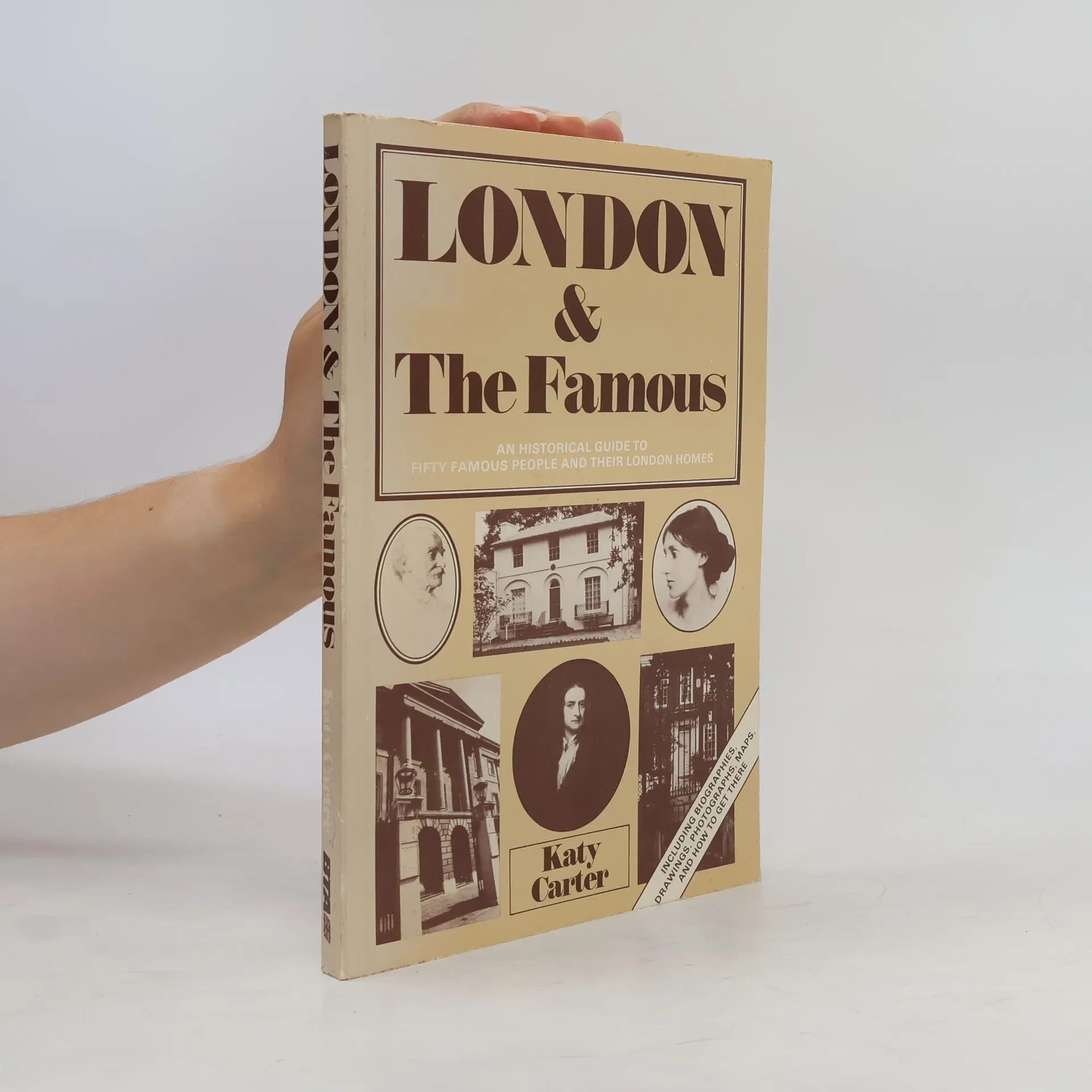
An Historical Guide to Fifty Famous People and Their London Homes
Book by Automobile Association (Great Britain)