Indien-Handbuch
- 1212 Seiten
- 43 Lesestunden




53 Large-Scale Maps & Guides to 26 Towns and Villages: Planning - Places to Stay - Places to Eat - Ben Nevis Guide - Glasgow City Guide - 5th Edition
Fully revised 5th edition of the first title in Trailblazer’s series of British Walking Guides. The West Highland Way is the most popular long-distance path in the UK, showcasing some of the country's most breathtaking scenery. Stretching 95 miles from the outskirts of Glasgow, it meanders along the wooded shores of Loch Lomond, traverses the wilderness of Rannoch Moor, and ascends the mountains above Glencoe, culminating at the foot of Ben Nevis, Britain’s highest peak. This guide includes 5 large-scale town plans and 48 detailed walking maps at just under 1:20,000, highlighting route times, accommodations, dining options, and points of interest. It caters to all walkers, whether tackling the entire route over a week to 10 days or enjoying day walks and short breaks. Practical information is provided for all budgets, covering camping, bunkhouses, hostels, B&Bs, pubs, and hotels from Glasgow to Fort William, along with detailed street plans. Comprehensive public transport information is included for all access points on the route. The guide features route descriptions for climbing Ben Nevis and other peaks, a four-page full-color flower guide, and an illustrated section on local wildlife. It emphasizes green hiking practices to minimize environmental impact and includes GPS waypoints available for download from the Trailblazer website.
Following the Kali Gandaki River through the world's deepest valley, an ancient Tibetan trade route cuts across the Annapurna region. It's an area of astounding natural beauty ranging from lush rice fields in the south to the high-altitude desert plateau in the north, past Himalayan peaks of over 26,000 ft.This fully revised and expanded fourth edition includes fifteen village plans and forty-five route maps covering these classic >Annapurna Circuit>Annapurna Sanctuary>Pokhara to Poon Hill>Pokhara-Jomsom-Muktinath>Tilicho Tal>Dhaulagiri Ice-fall>Plus- Manang Valley hikes, Siklis Eco-Trek, day walks from Jomsom, and an introduction to trekking peaks in the Annapurna region
This new edition of the guide to the world's longest rail journey is packed with practical information on planning the trip and booking tickets. Background information is also included on Siberia's infamous past and the history of the railway. 30 color photos.
Filled with accommodation and eating suggestions for all budgets, this guide also features extensive coverage of outdoor activities, British history, architecture, and literature. of color illustrations. 156 maps.
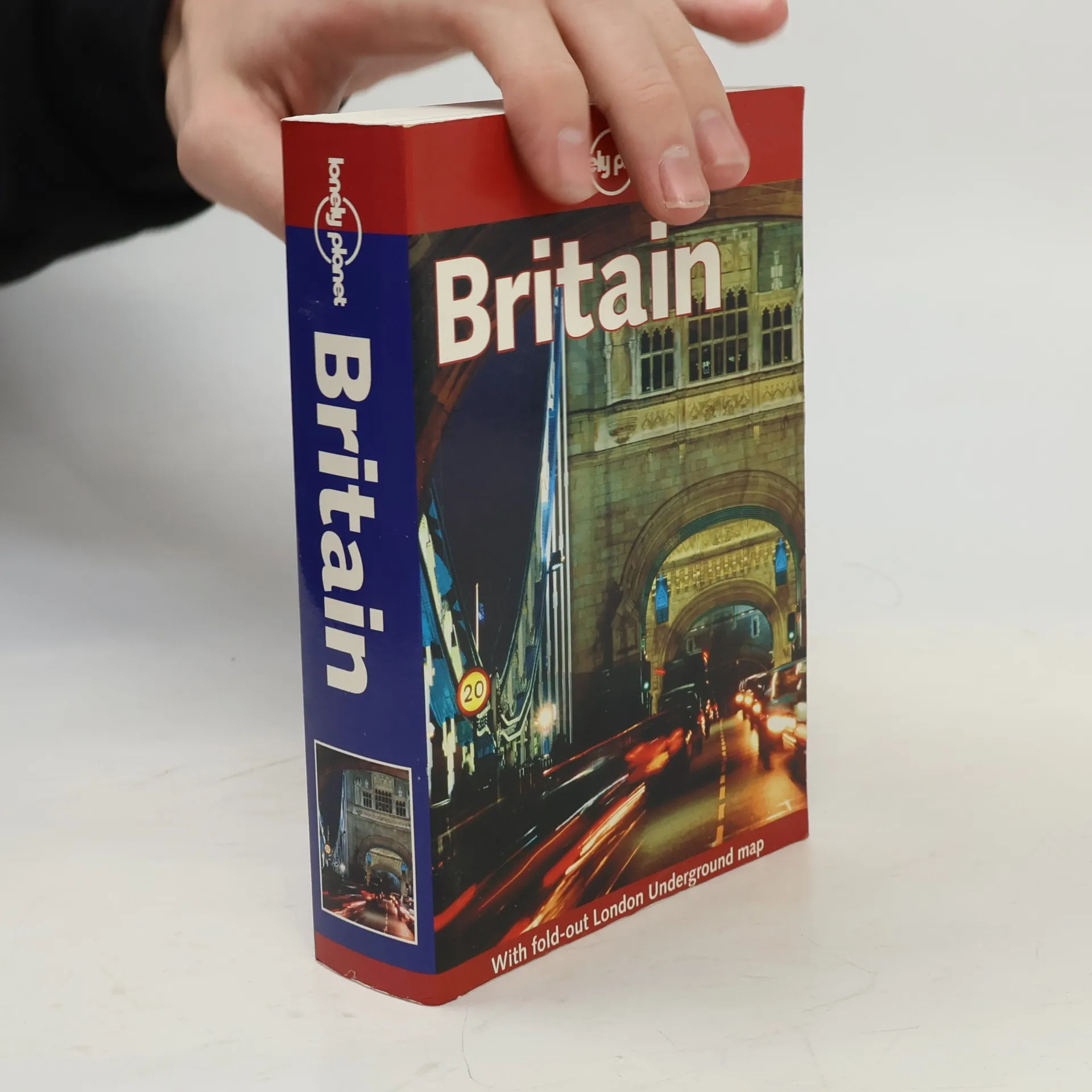
This comprehensive guide to England, Scotland and Wales covers all the great sights, but also takes you to less touristed places - quiet country lanes, untouched villages, dramatic coastlines and forgotten corners. 160 maps, including 12 colour maps of London extensive guide to London's cultural and historic sights, nightlife and shopping information on the Channel Islands and the Isle of Man comprehensive guide to British architecture, and glossary of architectural terms notes on British history, literature, theatre, film and music accommodation and eating options for every budget, from camping to historic homes, self-catering to the Ritz 26 pages of colour photographs details on public transport and self-drive options welsh language section
Verblüffend - es gibt schlichtweg kein anderes Wort, mit dem das Mysterium Indien treffender beschrieben werden kann. Der Vielseitigkeit dieses Landes kann man sich nicht entziehen. Schneebedeckte Berge und sonnenverwöhnte Strände, ruhige Tempel und bunte Festivals, von Laternenlicht erhellte Dörfer und ultramoderne Software-Hochburgen. Kein Wunder eigentlich, dass Indien als das vielseitigste Land der Welt bekannt ist. Egal, ob man es liebt oder hasst - die meisten schwanken zwischen diesen beiden Extremen -, Indien wird das Leben seiner Besucher ordentlich auf den Kopf stellen. Und ganz gleich, wohin es einen verschlägt und was man unternimmt, die Erfahrung wird unvergesslich sein.
- helpful advice on getting there for all budgets and timelines- insider tips for finding the best beaches and parties- tips, for watching the abundant bird species- excursions around and beyond Goa
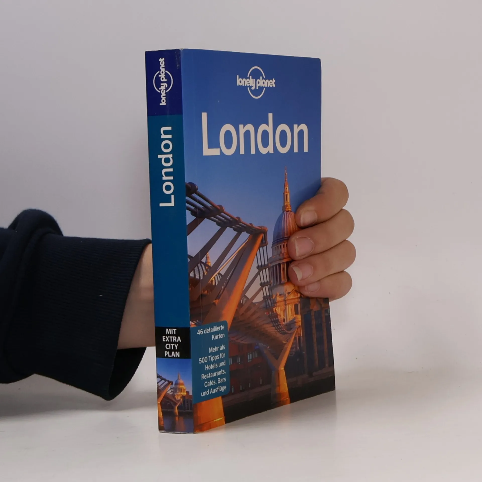
Entdecken Sie die lebendige Metropole an der Themse mit einem umfassenden Reiseführer für Individualreisende. Monatelange Recherche fließen in diesen Kultreiseführer ein, der auf über 450 Seiten wertvolle Hintergrundinformationen, Planungstipps und aktuelle Details zu Sehenswürdigkeiten bietet. Die Autoren teilen persönliche Entdeckungen und Empfehlungen, die auch abseits der typischen Touristenpfade lohnenswert sind. Besuchen Sie beispielsweise den Mudchute Park & Farm auf der Isle of Dogs, wo Kühe, Schafe und Lamas vor der beeindruckenden Kulisse von Canary Wharf leben. Für Architekturinteressierte ist das ikonische Gebäude 30 St. Mary Axe, auch bekannt als „the Gherkin“, ein Muss. Der Reiseführer bietet zudem eine Auswahl an Unterkünften und Restaurants für jedes Budget in jedem Stadtviertel. Abgerundet wird das Angebot durch detaillierte Karten, einen praktischen Cityplan im Hosentaschenformat, ein Farbkapitel zu den 16 Top-Highlights, 3D-Pläne wichtiger Sehenswürdigkeiten und spezielle Kapitel zu Themen wie Ausgehen, Shoppen, Sport und Tagesausflügen. Ein Glossar und ein Sprachführer erleichtern die Verständigung. Der Reiseführer ist ehrlich, praktisch und humorvoll und bietet inspirierende Eindrücke und Erfahrungen.