Rand Mcnally Bücher

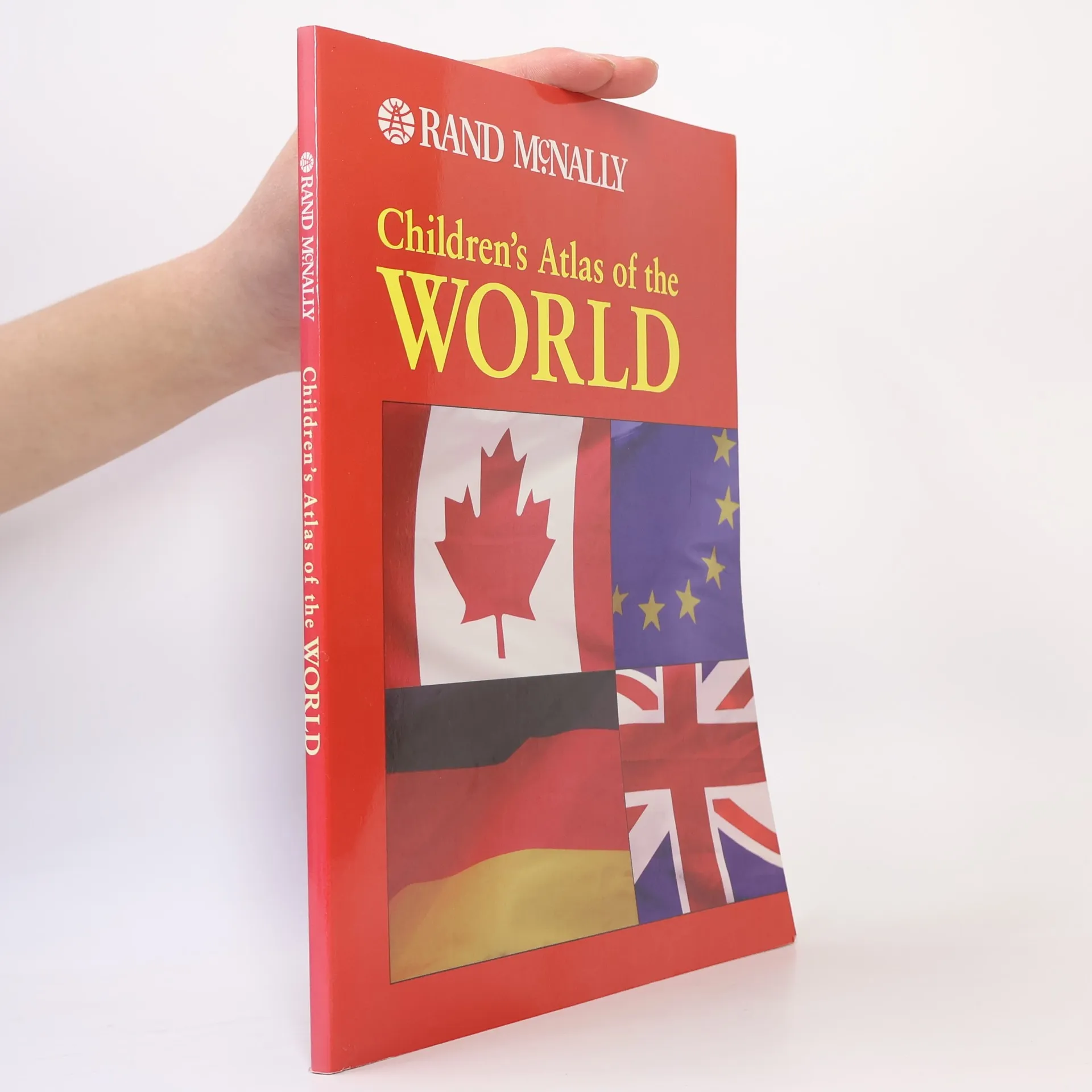

Children's Atlas of the World
- 93 Seiten
- 4 Lesestunden
Presents maps showing the world's terrain, climate, major economic activities, and populations
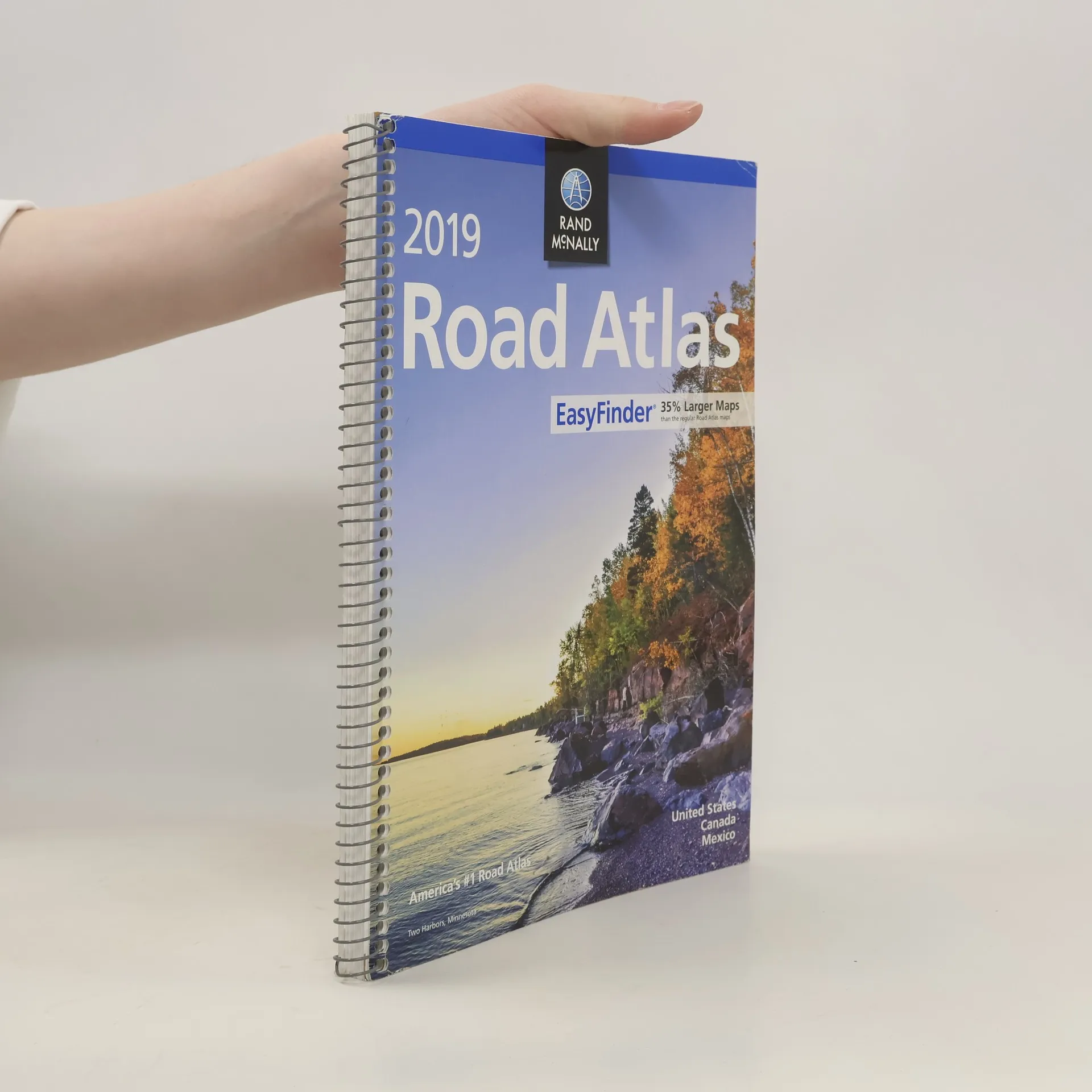
Rand McNally 2019 Easyfinder Midsize Road Atlas
- 160 Seiten
- 6 Lesestunden
This updated North American atlas contains maps of every U.S. state and Canadian province, an overview map of Mexico, plus detailed maps of over 50 North American cities, all conveniently packaged for travel. Contains mileage chart showing distances between 77 cities and national parks with driving times map. Spiral binding allows the book to lay open easily.
Rand McNally's folded map for New York City 5 Boroughs: Manhattan/Bronx/Brooklyn/Queens/Staten Island is a must-have for anyone traveling in and around this part of New York, offering unbeatable accuracy and reliability at a great price. Our trusted cartography shows all Interstate, U.S., state, and county highways, along with clearly indicated parks, points of interest, airports, county boundaries, and streets. The easy-to-use legend and detailed index make for quick and easy location of destinations. You'll see why Rand McNally folded maps have been the trusted standard for years. - Regularly updated. - Full-color maps. - Clearly labeled Interstate, U.S., state, and county highways. - Indications of parks, points of interest, airports, county boundaries, shopping malls, downtown & vicinity maps. - Enlargements of Manhattan, John F. Kennedy International Airport, Newark Airport and New York City vicinity map. - Easy-to-use legend. - Detailed index & full street index. - Convenient folded size. Coverage Area Communities Included: Bronx, Brooklyn, Manhattan, Queens, Staten Island. Product Details: Measures 9.5' x 4' and folds out to 40' x 28'.
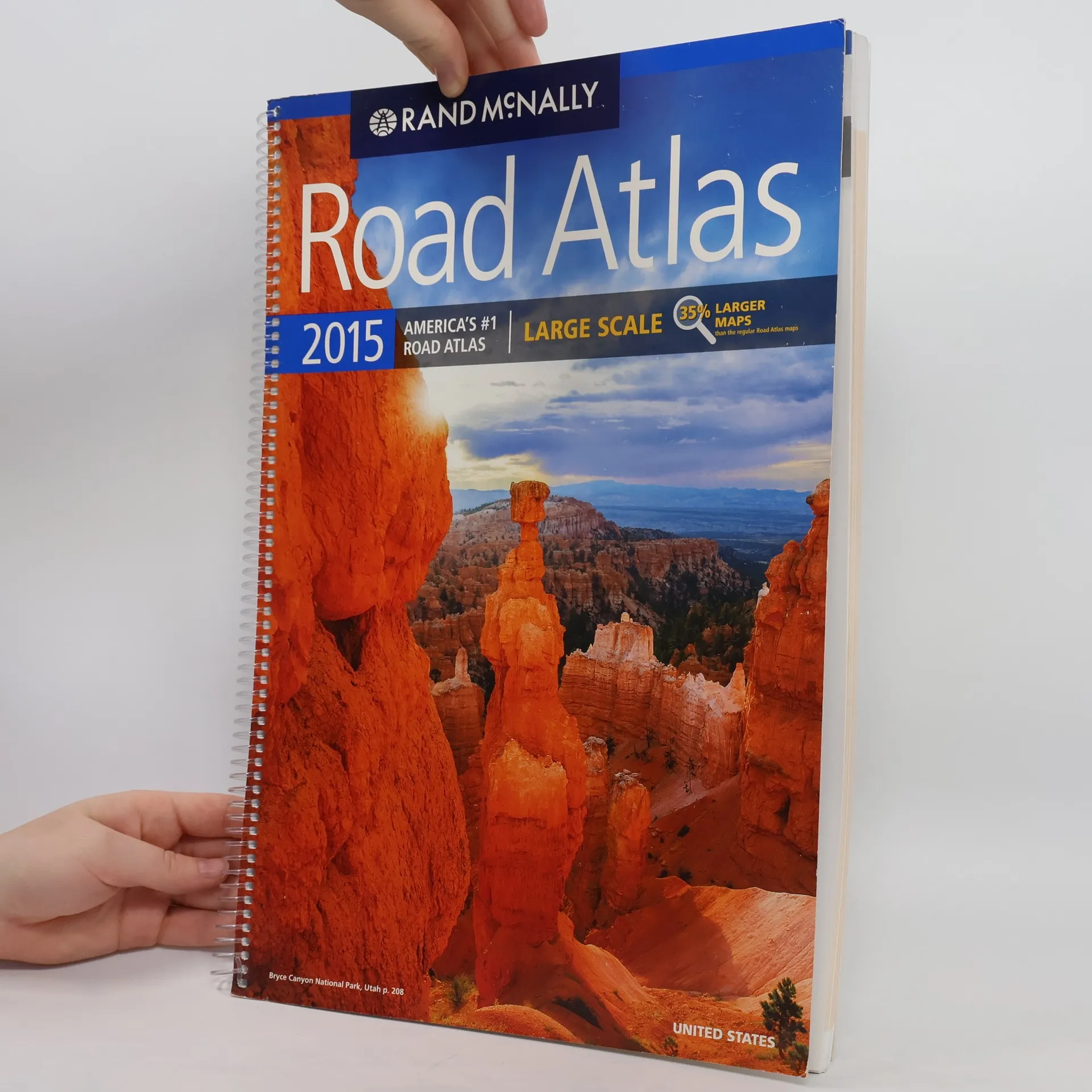
2015 Road Atlas Large Scale
- 264 Seiten
- 10 Lesestunden
A comprehensive road atlas which includes United States, Canada, and Mexico.
Profusely illustrated text describes one hundred of the mountains, canyons, lakes, rivers, caves, and prairies of the United States, Canada, and Mexico.
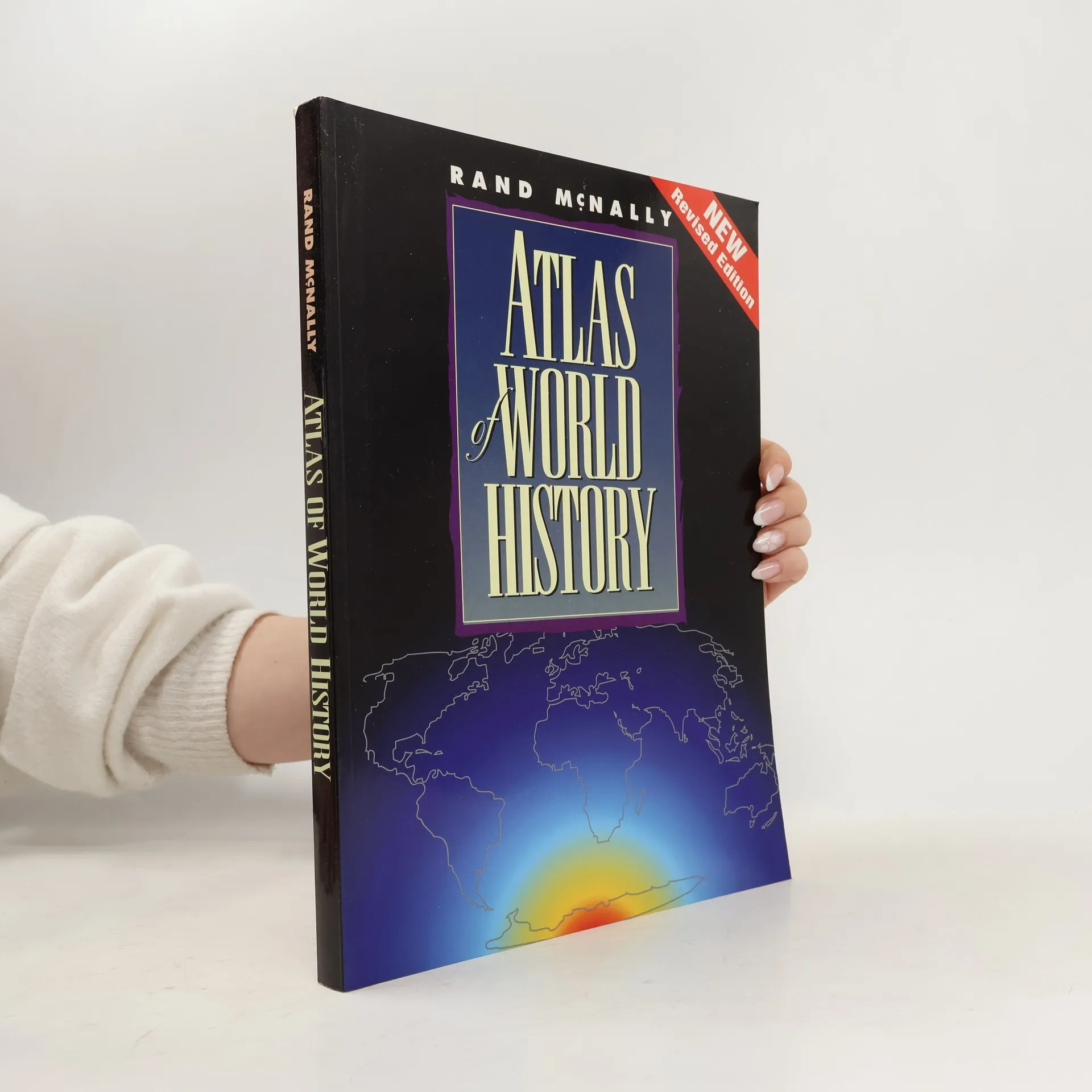
Atlas of World History - New Revised Edition
- 192 Seiten
- 7 Lesestunden
Presents maps which depict historical events and their impact on human development, from the beginnings of civilization to the population of the United States in 1990.
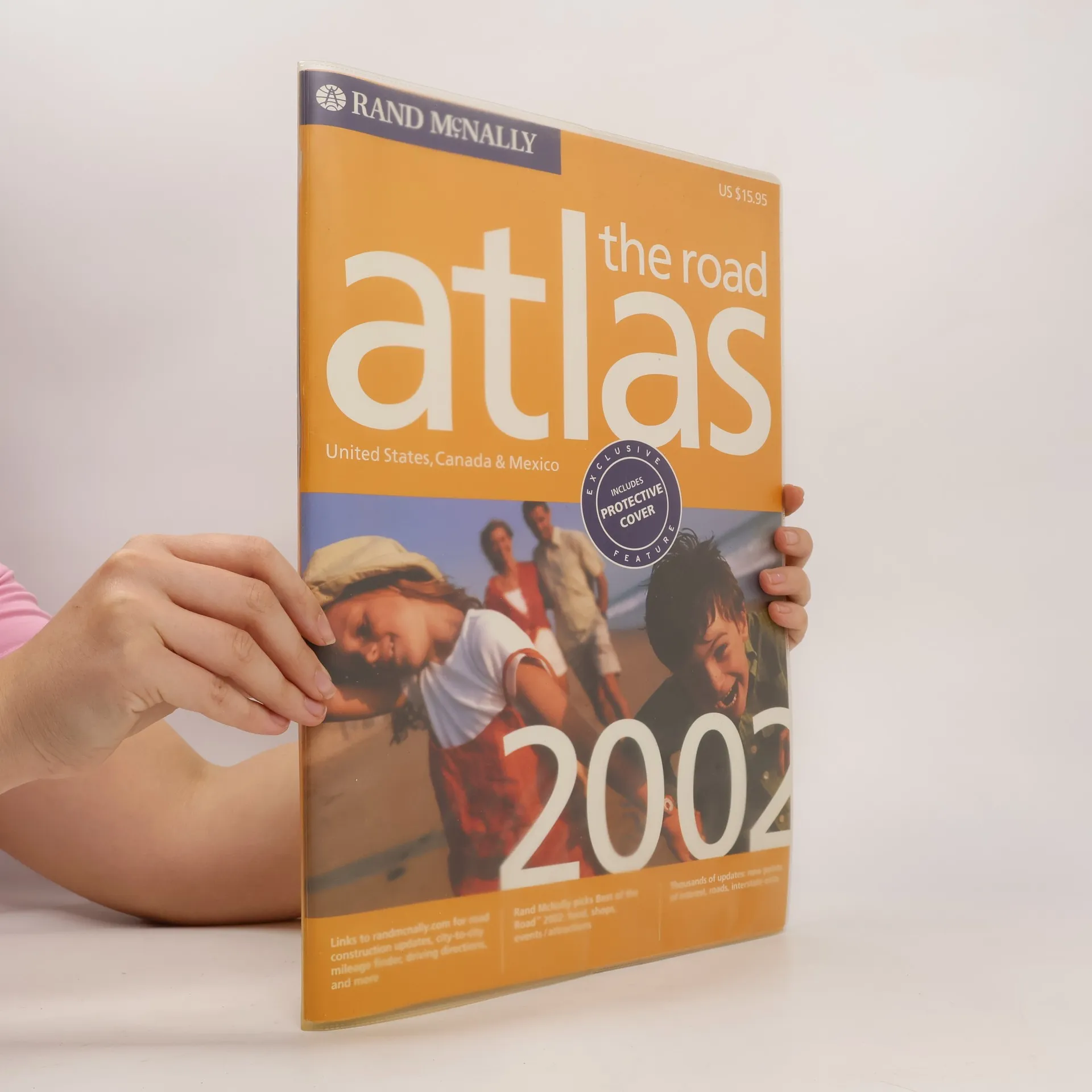
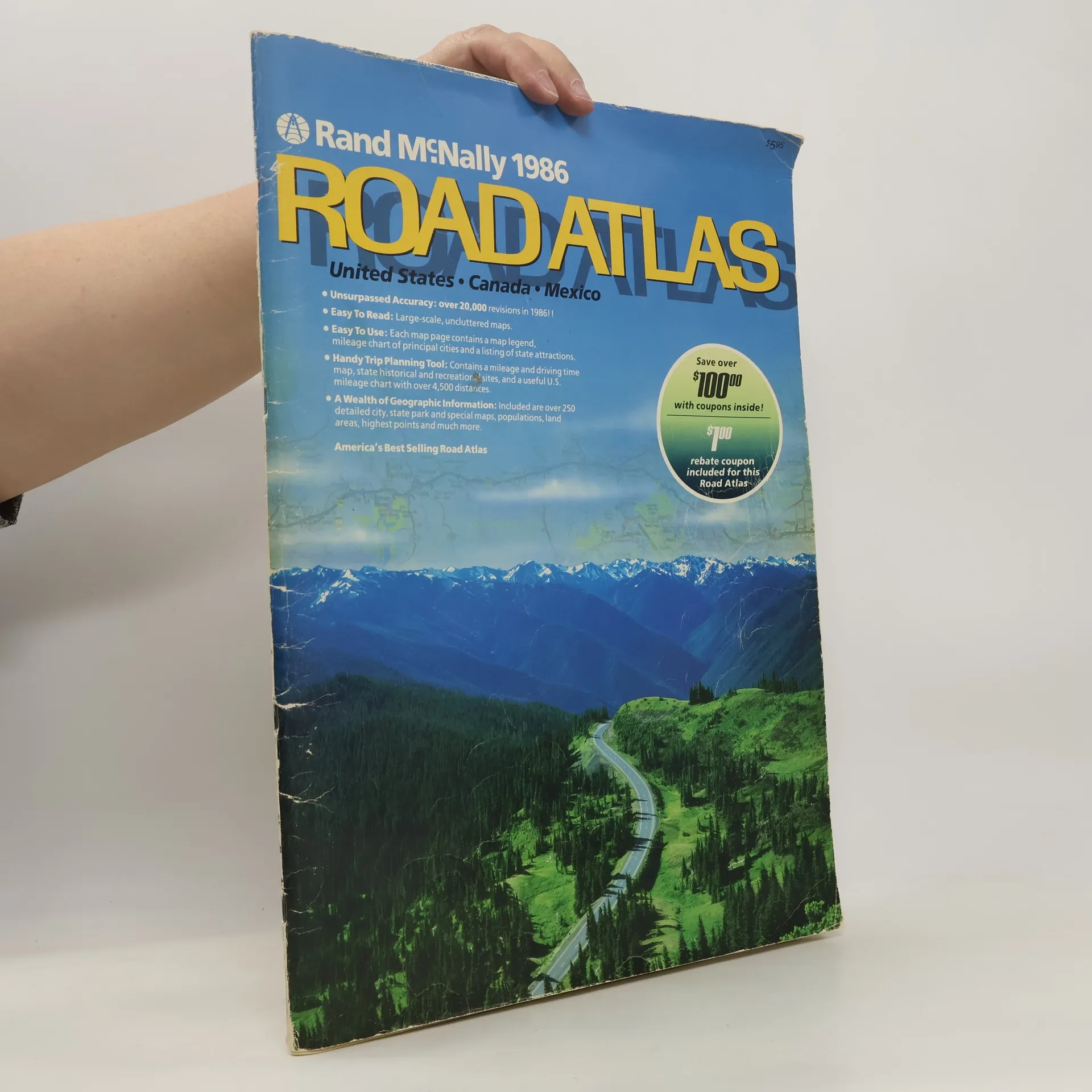
Rand McNally Road Atlas
United States, Canada, Mexico
One of the world's bestselling publications and America's #1 selling road atlas, the Rand McNally "Road Atlas" offers the most current and accurate road navigating information available using state-of-the-art digital cartography. 380 province/country maps; 280 city maps; extensive travel-planning information including travel discount coupons.
Includes individual state and province maps showing mileages, recreational and historical sites, and trip-planning information, plus city maps and a place index.
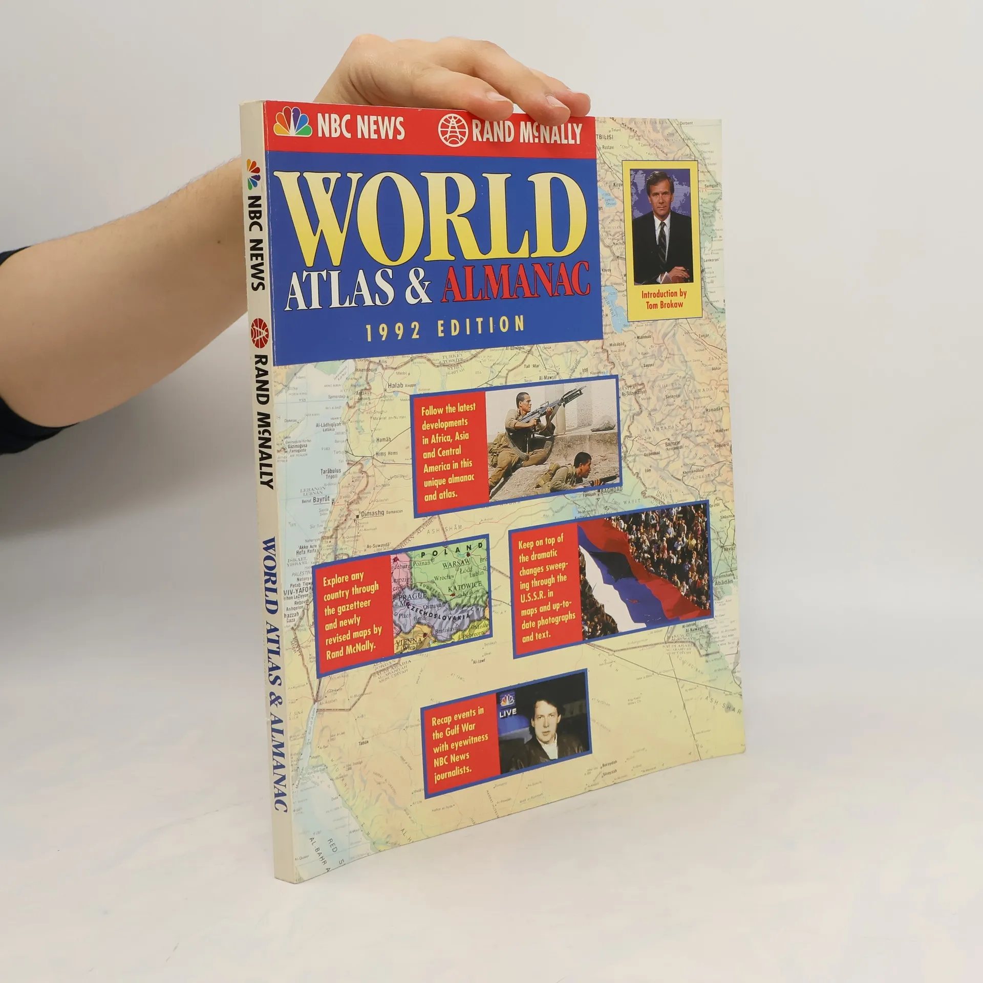
NBC News/Rand McNally world atlas & almanac
- 192 Seiten
- 7 Lesestunden
A complete sixty-four-page world atlas and index are accompanied by news briefs recapping 1992's important events, reviews of key issues facing the world in 1993, and profiles of people in the news. Original.
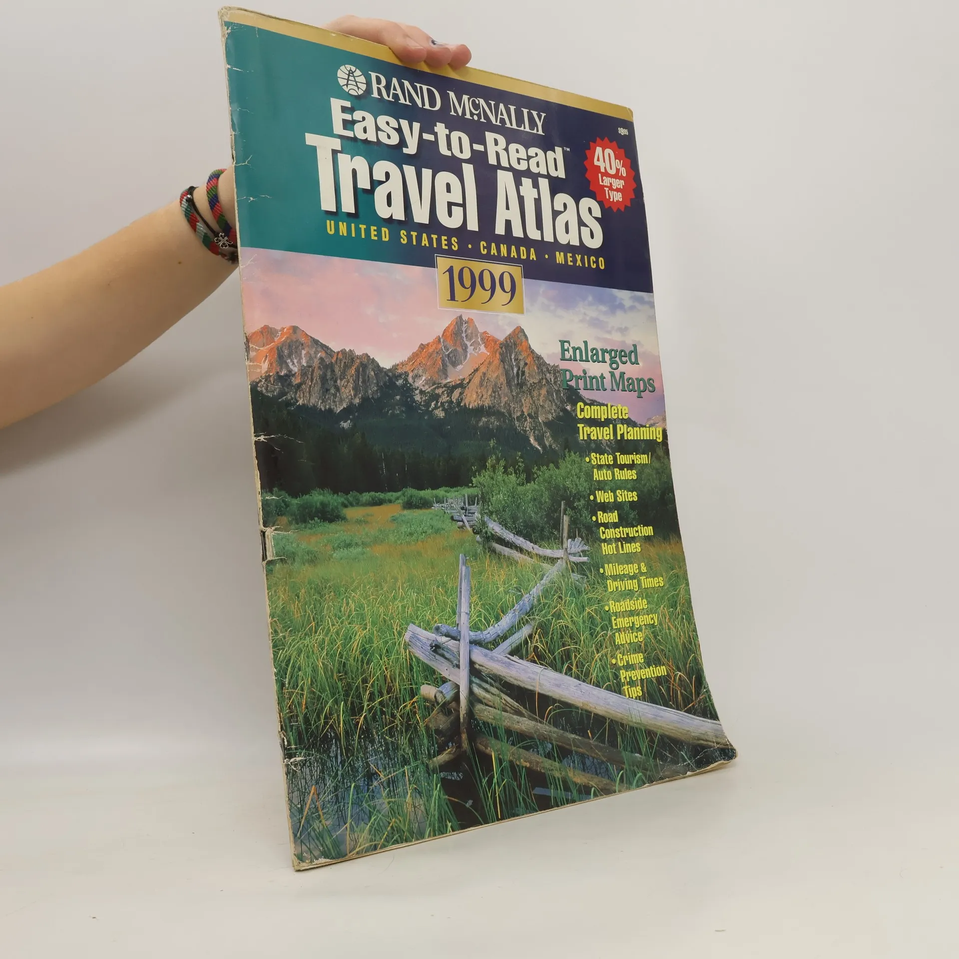
Easy-To-Read Travel Atlas
- 96 Seiten
- 4 Lesestunden
Road maps with enlarged print accompany information on tourism, national parks, driving times, vacation planning, and travel safety
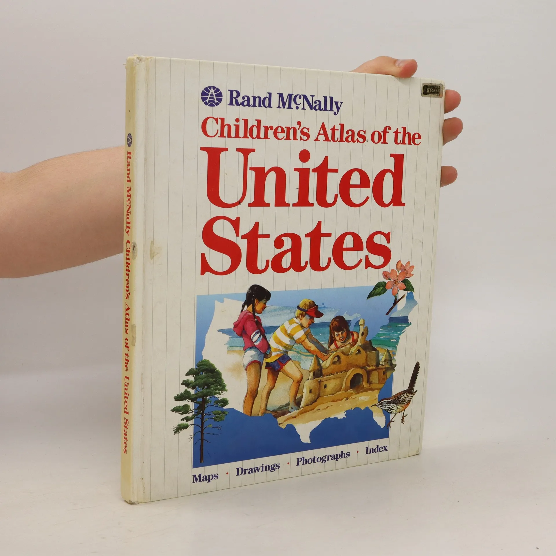
Children's Atlas of the United States
- 109 Seiten
- 4 Lesestunden
Appealing to both middle grade and younger children, this atlas features a double-page spread for each of the 50 states. A small U.S. map highlights the featured state in color. Sidebars include information on history, population, size and other relevant topics.
World Atlas
- 192 Seiten
- 7 Lesestunden
Large Hardcover. Edition 1951. Gilded Lettering on spine Hammond's World Atlas, Classics Edition; an Encyclopedic Atlas of the World with Latest and Most Authentic Geographical and Statistical Information in Map, Word and Picture. The book show some edge were and pages show ligth tanning and light spots of foxing. Otherwise still very good. (Please see the pictures) Quick and safe shipping. M-24
The Road Atlas. Midsize Deluxe
- 192 Seiten
- 7 Lesestunden
Includes individual state and province maps showing mileages, recreational and historical sites, and trip-planning information, plus city maps and a place index.
The durable and convenient EasyFinderTM of Los Angeles, California will take all the wear and tear your journey can dish out. The laminated design allows you to mark your route, make notes, then wipe the surface clean for further use.This map features enhanced cartography Clearly indicated highways, County Boundaries, Streets, Points of Interest and National Parks.
This folded map of the USA measures about 27 inches East to West by 38 inches North to South. The scale is 1:4,725,000 for the continental US and Hawaii, 1 inch = 75 miles. Alaska is at a scale of 1:13,500,000. One side features the entire USA, including Alaska and Hawaii. The reverse side includes an index of places, a map showing time and distances between major cities in the USA, parts of Canada, and Mexico. There is also a list of the states with their motto, date of statehood, population area, capital, major cities, and more.
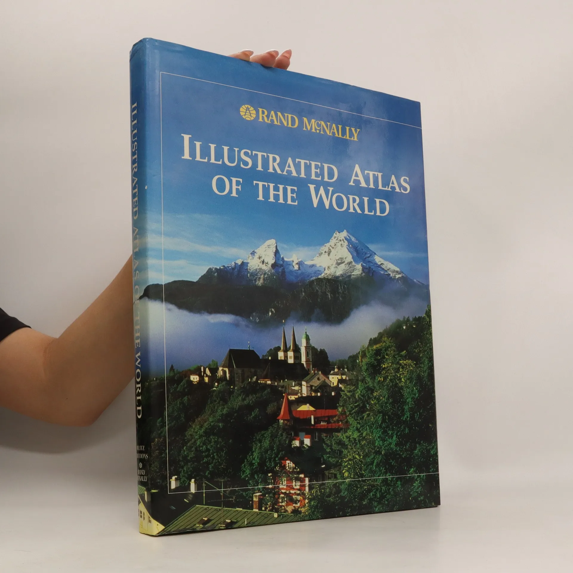
Illustrated Atlas of the World
- 384 Seiten
- 14 Lesestunden
The New International World Atlas
Der neue internationale Atlas = El nuevo atlas internacional = Le nouvel atlas international = O nôvo atlas internacional.
- 560 Seiten
- 20 Lesestunden
Some of the features of this a highly graphic section called "The Real World" which explores the major geographic distributions affecting human development; and quick and accurate revisions, such as showing recent name and boundary changes to the South African provinces, as well as the Ukrainian-language place names which have replaced the Russian- language place names in the Ukraine. But the main feature is the map 259 handsome maps, almost all using the full height and breadth of the two-page spreads; and metropolitan area maps of some 65 major cities, all of which are at the same scale. The staggering index provides the map page number and the latitude and longitude of some 160,000 places. Text is in five English, Deutsch, Espanol, Francais and Portugues.
Rand McNally Florida
Highways & Intersections (EasyFinder) laminated
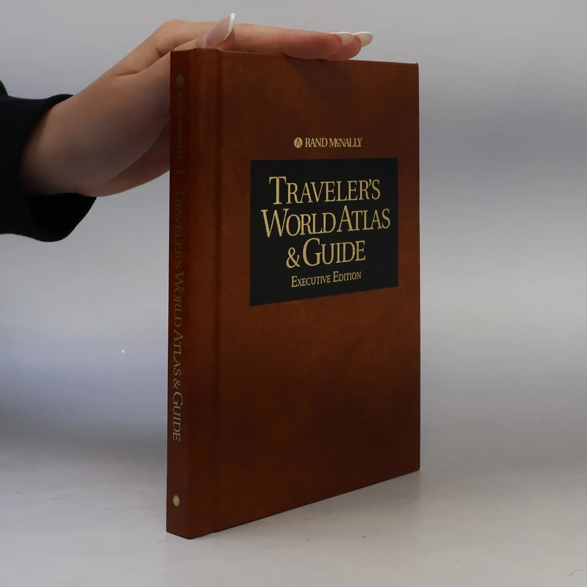
Traveler's World Atlas & Guide
Executive Edition
The Encyclopedia of the World's Rivers
- 350 Seiten
- 13 Lesestunden
Artikelzustand: Gut Autor: Various Genre: Format: Erscheinungstermin: Anzahl der Seiten: Länge: Breite: Gewicht: Sprache: EAN: 9780861240258
Rand McNally Los Angeles Popout Map
Double Map - Special Edition
Místa snů a romantiky
- 223 Seiten
- 8 Lesestunden
Podtitul: Velká cesta po nejnavštěvovanějších místech světa Lyrické putování po nejkrásnějších městech, stavbách a krajinách celého světa.