Parameter
Kategorien
Mehr zum Buch
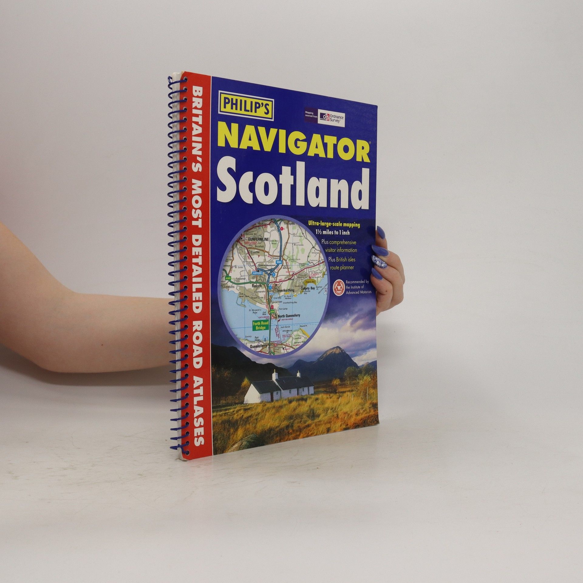
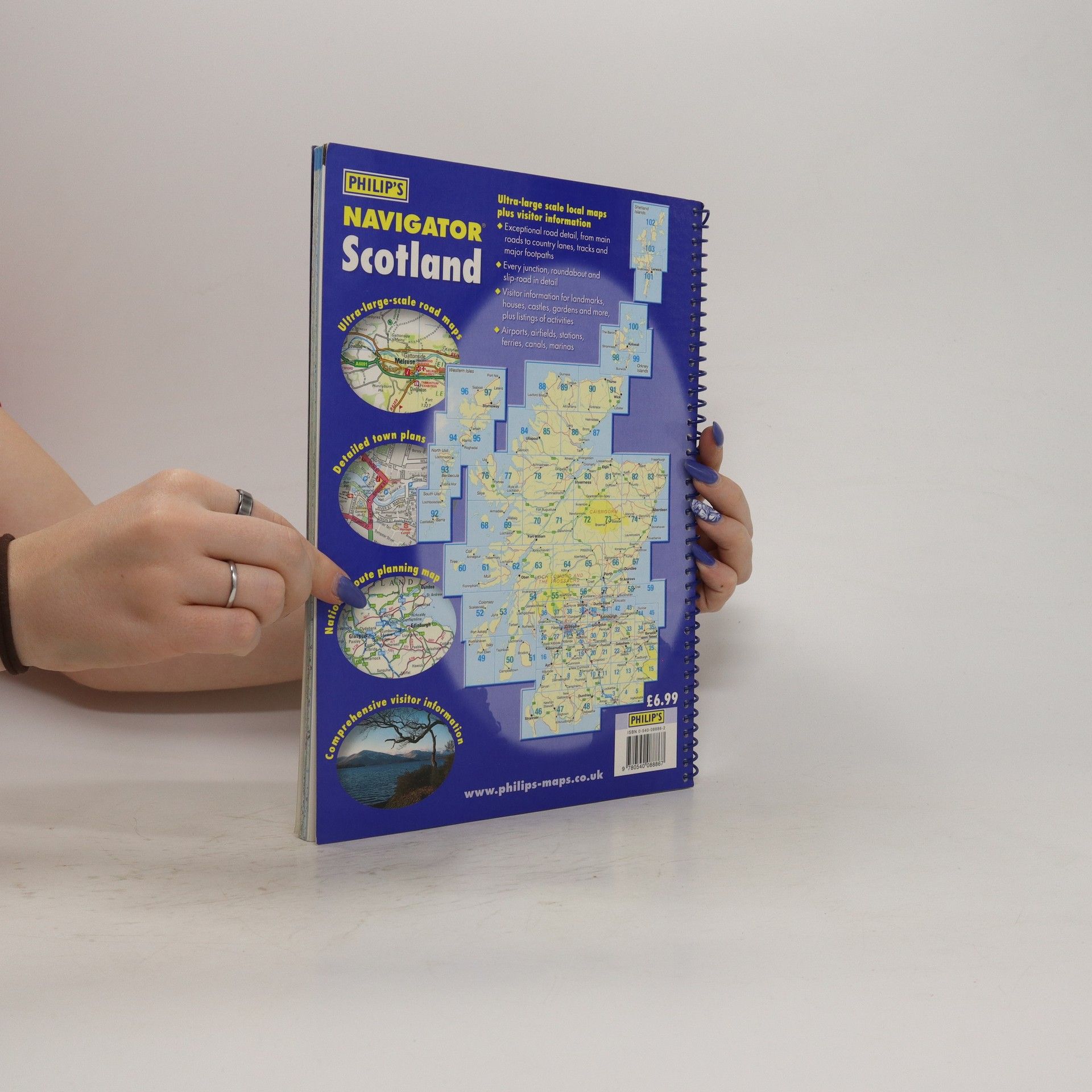
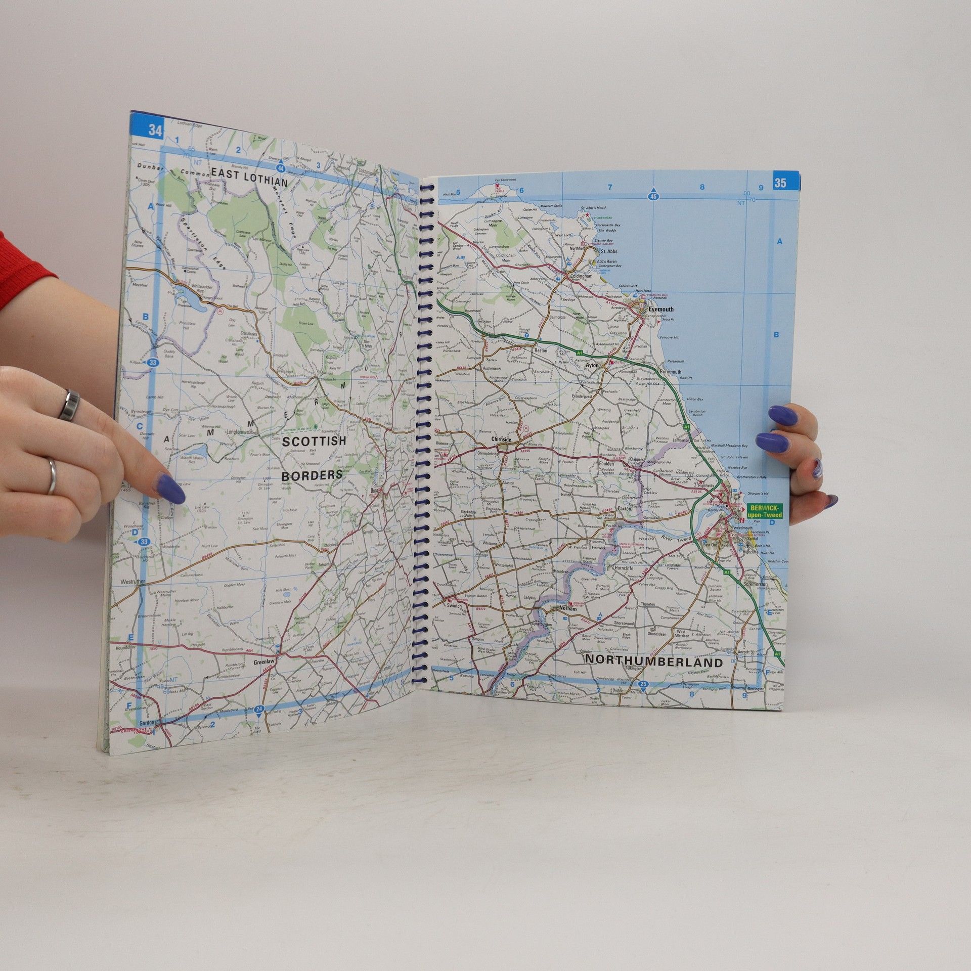
A fully revised edition of the most detailed road atlas of Scotland by far. At a scale of 1.5 miles to 1 inch (3 miles to 1 inch in the Highlands and islands), the full road network is shown, including minor country lanes and rural tracks - and even major footpaths - plus every junction, roundabout and slip-road.There is an abundance of other detail, including thousands of individually named farms, houses and hamlets. Also shown are airports, airfields, stations, ferries, canals, marinas and a wide range of places of interest.The atlas has a comprehensive index and includes indexed town plans of major regional centres.The front of the atlas contains a unique 16-page guide to regional leisure with full details of places of interest such as castles, houses, cathedrals and gardens, guides to landscape areas and museums, and listings of a wide variety of activities from abseiling to yachting. There are also useful details of many services that may be needed while travelling, such as tourist information offices and hospitals with casualty departments.The atlas is designed with the leisure user particularly in mind, and is ideal for touring with its large scale and wealth of travel information. The exception detail also makes the atlas idea for local business use such as planning and delivery driving.The atlas is part of Philip's series of Navigator regional atlases, covering Wales, the Northwest, East Anglia and the Southwest.Main map scale: 1.5 miles to 1 inch and 3 miles to 1 inch
Buchkauf
Navigator Scotland, Autorenkollektiv
- Sprache
- Erscheinungsdatum
- 2006
Lieferung
Zahlungsmethoden
Feedback senden
- Titel
- Navigator Scotland
- Sprache
- Englisch
- Autor*innen
- Autorenkollektiv
- Verlag
- Philip's
- Verlag
- 2006
- Einband
- Spiralbindung
- ISBN10
- 0540088862
- ISBN13
- 9780540088867
- Kategorie
- Reise & Abenteuer
- Beschreibung
- A fully revised edition of the most detailed road atlas of Scotland by far. At a scale of 1.5 miles to 1 inch (3 miles to 1 inch in the Highlands and islands), the full road network is shown, including minor country lanes and rural tracks - and even major footpaths - plus every junction, roundabout and slip-road.There is an abundance of other detail, including thousands of individually named farms, houses and hamlets. Also shown are airports, airfields, stations, ferries, canals, marinas and a wide range of places of interest.The atlas has a comprehensive index and includes indexed town plans of major regional centres.The front of the atlas contains a unique 16-page guide to regional leisure with full details of places of interest such as castles, houses, cathedrals and gardens, guides to landscape areas and museums, and listings of a wide variety of activities from abseiling to yachting. There are also useful details of many services that may be needed while travelling, such as tourist information offices and hospitals with casualty departments.The atlas is designed with the leisure user particularly in mind, and is ideal for touring with its large scale and wealth of travel information. The exception detail also makes the atlas idea for local business use such as planning and delivery driving.The atlas is part of Philip's series of Navigator regional atlases, covering Wales, the Northwest, East Anglia and the Southwest.Main map scale: 1.5 miles to 1 inch and 3 miles to 1 inch


