
Ausverkauft
Mehr zum Buch
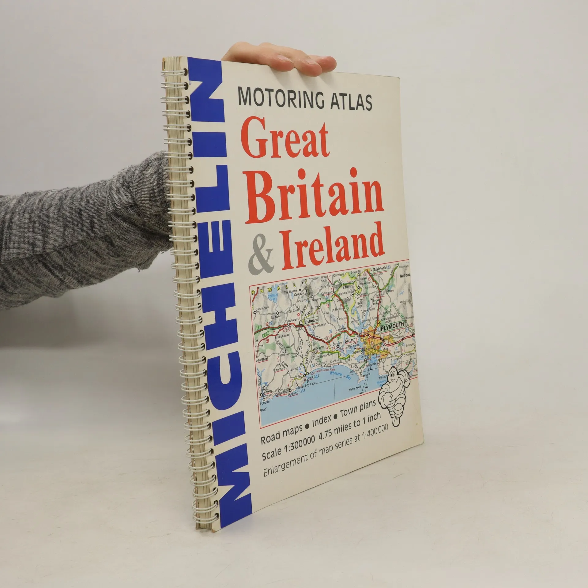
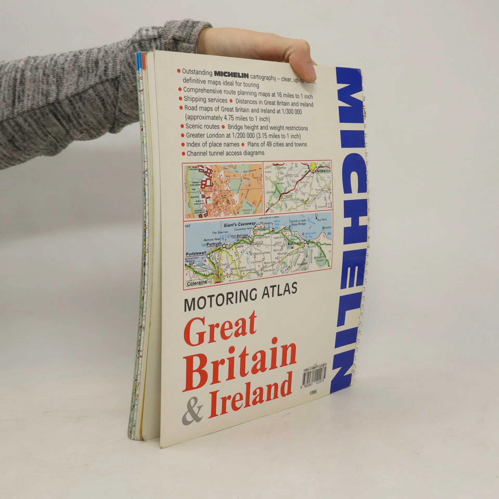
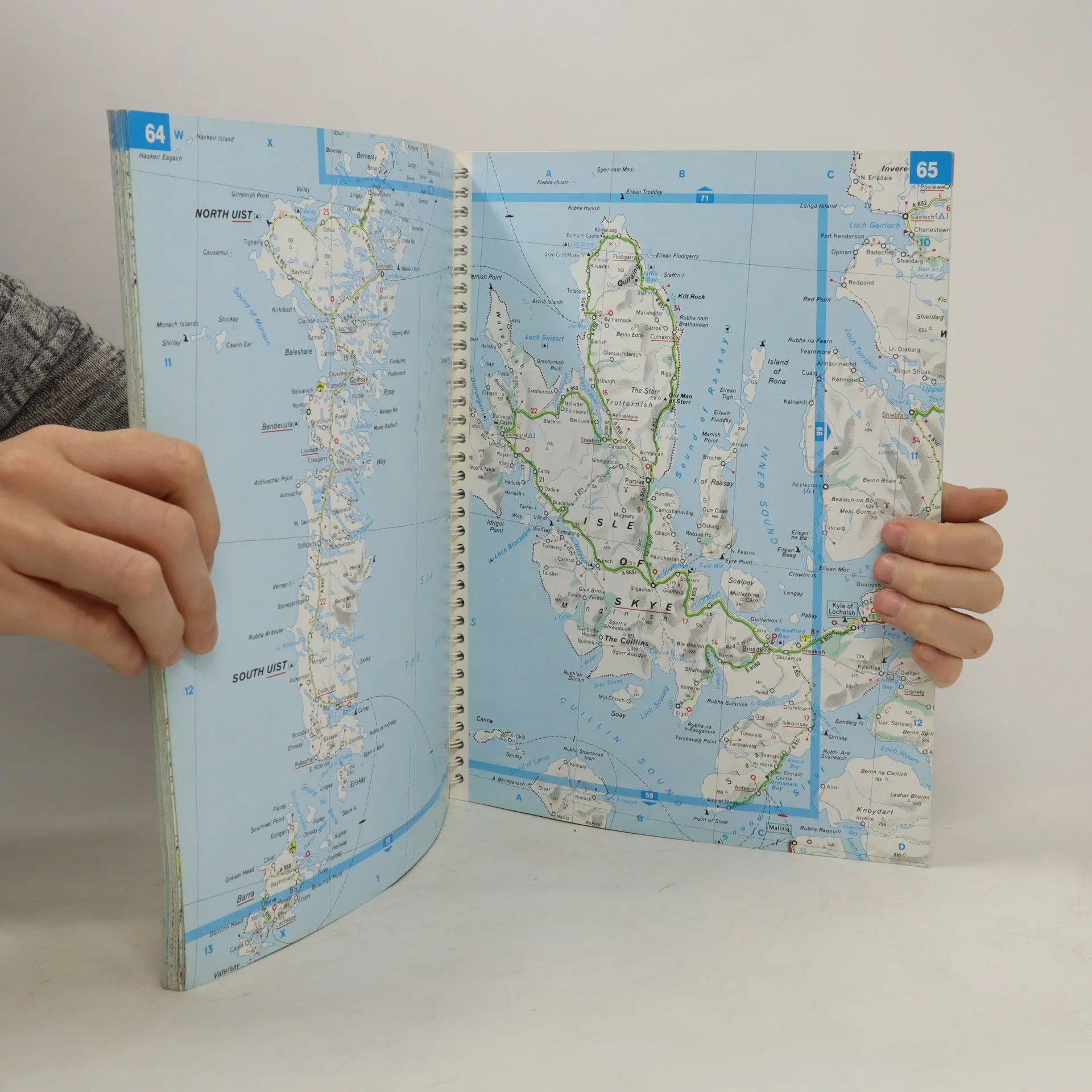
A motoring atlas of Great Britain and Ireland, with cartography at a scale of 1:300,000. Scenic routes are indicated, and other features include shipping services, distances, bridge height and weight restrictions, 49 city and town plans, and Channel Tunnel access diagrams.
Buchkauf
Motoring Atlas Great Britain & Ireland, Autorenkollektiv
- Sprache

- Erscheinungsdatum
- 1996
- product-detail.submit-box.info.binding
- (Spiralbindung)
Wir benachrichtigen dich per E-Mail.
Hier könnte deine Bewertung stehen.
- Titel
- Motoring Atlas Great Britain & Ireland
- Sprache
- Englisch
- Autor*innen
- Autorenkollektiv
- Erscheinungsdatum
- 1996
- Einband
- Spiralbindung
- Seitenzahl
- 147
- ISBN10
- 2061122078
- ISBN13
- 9782061122075
- Reihe
- Schlagwörter
- Sachbücher, Karten & Reisen
- Bewertung
- 3 von 5 Sternen
- Beschreibung
- A motoring atlas of Great Britain and Ireland, with cartography at a scale of 1:300,000. Scenic routes are indicated, and other features include shipping services, distances, bridge height and weight restrictions, 49 city and town plans, and Channel Tunnel access diagrams.