
This up-to-date detailed A-Z street map includes more than 2,000 streets in and around Portsmouth. As well as ferry routes from Portsmouth Harbour, other areas covered include Southsea, Fratton, Milton Common, Hilsea and Cosham.
Heron Maps Reihenfolge der Bücher (Chronologisch)

Birmingham A-Z Street Atlas
- 296 Seiten
- 11 Lesestunden
Navigate your way around Birmingham with this detailed and easy-to-use A-Z Street Atlas. Printed in full-colour, paperback format, this atlas contains 164 pages of continuous street mapping.
Navigate your way around Norwich with detailed street maps from A-Z
South East England A-Z Road Atlas
- 72 Seiten
- 3 Lesestunden
This A-Z map of South East England is a full colour regional road atlas featuring 46 pages of continuous road mapping extending from Banbury and Felixstowe to the south coast, and from Oxford and Southampton to Margate and Clacton-on-Sea in the east.
Navigate your way around Liverpool with detailed street maps from A-Z
Navigate your way around York with detailed street maps from A-Z
Scotland A-Z Road Atlas
- 120 Seiten
- 5 Lesestunden
Navigate your way around Scotland with this detailed, full-colour and easy-to- use A-Z Road Atlas. From the border to the north coast, the mainland pages scale is 3.5 miles to 1 inch and the Western Isles, Shetland Islands and Orkney Islands scale is 4.5 miles to 1 inch.
Navigate your way around Exeter with detailed street maps from A-Z
Explore the whole region and area extending from Cockermouth and Penrith in the north to Ulverston and Grange-over-Sands in the south and from the M6 in the east to the coast in the west.
Navigate your way around Cardiff with detailed street maps from A-Z
Navigate your way around Blackpool with detailed street maps from A-Z.
Navigate your way around Oxford with detailed street maps from A-Z
Navigate your way around Leeds with detailed street maps from A-Z
Navigate your way around Sheffield with detailed street maps from A-Z
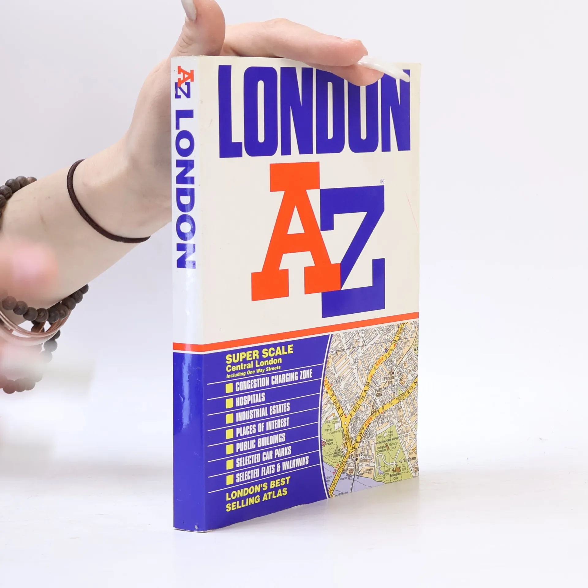
London AZ
- 430 Seiten
- 16 Lesestunden
Want to find your way around London? Look no further than London's best selling Atlas - London AZ. The new 2004 edition of this super scale central London atlas includes clear detailed maps covering the central area, one way streets, an index to over 69,000 streets, elected car parks, and railway and Underground connections throughout Greater London.