„Die Erde und ihr Gebrauch durch den Menschen – Atlas eines Abenteuers“ bietet eine umfassende Darstellung der Erde und ihrer Dynamiken über große Zeiträume hinweg. Mit über 300 farbigen Karten und Beiträgen von 30 Wissenschaftlern wird der Weg von den Anfängen des Universums bis zu aktuellen Umweltkatastrophen spannend und lehrreich nachgezeichnet.
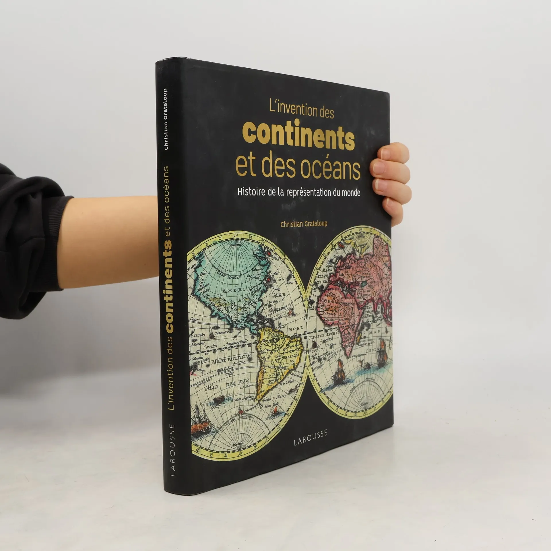
"Kontinente und Ozeane" von Christian Grataloup untersucht die historische und geopolitische Entwicklung von Landkarten und deren Einfluss auf unser Weltbild. Der Autor beleuchtet, wie unterschiedliche Perspektiven von Händlern und Kolonialherren die Kartografie prägten und hinterfragt gängige Einteilungen von Kontinenten und Ozeanen. Ein faszinierender Bildband über die Verflechtung von Geografie und Weltanschauung.
Geschichte der Menschheit in 515 Karten Visualisierung der Globalgeschichte - Kartografie - Weltatlas. Von den Mesopotamiern und alten Ägyptern bis zur Machtentfaltung Chinas im 21. Jahrhundert und dem Klimawandel stellt Christian Grataloup jede Karte mit kurzen Begleittexten in ihren jeweiligen welthistorischen Kontext. Neben klassischen Karten zu historischen Begebenheiten auch Karten zu: - Klimawende - Migration im 20. Jahrhundert - Arabischer Frühling - Das Schmelzen der Polkappen ...
<b>Klima, Berge, Bodenschätze – Wie Geografie die Weltgeschichte prägt </b> Christian Grataloup hat sich auch in Deutschland einen Namen gemacht. In seinen Bestsellern "Die Geschichte der Welt" und "Die Geschichte der Erde" werden Karten auf eine ganz neue und moderne Weise mit erläuternden historischen Texten verbunden. Nun legt der Meister der historischen Kartografie die Summe seines Denkens vor: Geogeschichte ist eine Expedition voller Überraschungen, bei der Grataloup einer einzigen Frage auf der Spur ist: Welchen Einfluss hat die Geografie auf den Verlauf der Weltgeschichte? Geologie, Anthropologie, Klimatologie, Demografie, Genetik, Epidemiologie und Ökonomie – sie alle werden in diesem Buch mobilisiert, um die Weltgeschichte von den frühesten Anfängen bis zur Gegenwart auf eine andere Weise zu erzählen: als Geschichte von geografischen Räumen und ihren Bedingungen. Dabei geht es Christian Grataloup nicht um eine klassische historische Erzählung, sondern um die Analyse der Faktoren, die das Entstehen und Verschwinden von Zivilisationen begünstigt haben, um die geografischen Bedingungen von Erfolg und Misserfolg und um den Weg der Menschheit in eine globalisierte Welt, in der Umweltfaktoren, ob wir es wollen oder nicht, immer stärker den Gang der Geschichte bestimmen.
La représentation de notre planète n'a cessé d'évoluer dans le temps, et cet ouvrage richement illustré des cartes des siècles passés et d'oeuvres artistiques démontre combien le découpage des parties du monde est entièrement un fait de culture et que les continents ont une histoire...