This revised map to Lincolnshire and the Wolds is in the series of pocket sized, folded maps to the National Cycle Network which include clearly mapped on-road and traffic-free paths, easy to read contours and detailed town insets. 1:110,000 scale; folded 155mm x 99mm; flat 792mm x 630mm.
Sustrans Reihenfolge der Bücher


- 2020
- 2020
This revised map to mid-Wales south is in the series of pocket sized, folded maps to the National Cycle Network which include clearly mapped on-road and traffic-free paths, easy to read contours and detailed town insets. 1:110,000 scale; folded 155mm x 99mm; flat 792mm x 630mm.
- 2020
This revised and updated cycle map to South East Wales is in the series of pocket sized, folded maps to the National Cycle Network which include clearly mapped on-road and traffic-free paths, easy to read contours and detailed town insets. Published by Sustrans at 1:110,000 scale; folded 155mm x 99mm; flat 792mm x 630mm.
- 2020
This revised and updated Devon cycle map is in the series of pocket sized, folded maps to the National Cycle Network which include clearly mapped on-road and traffic-free paths, easy to read contours and detailed town insets. Published by Sustrans at. 1:110,000 scale; folded 155mm x 99mm; flat 792mm x 630mm.
- 2020
This revised map of London is in the series of pocket sized, folded maps to the National Cycle Network which include clearly mapped on-road and traffic- free paths, easy to read contours and detailed town insets. Published by Sustrans. 1:110,000 scale; folded 155mm x 99mm; flat 792mm x 630mm.
- 2017
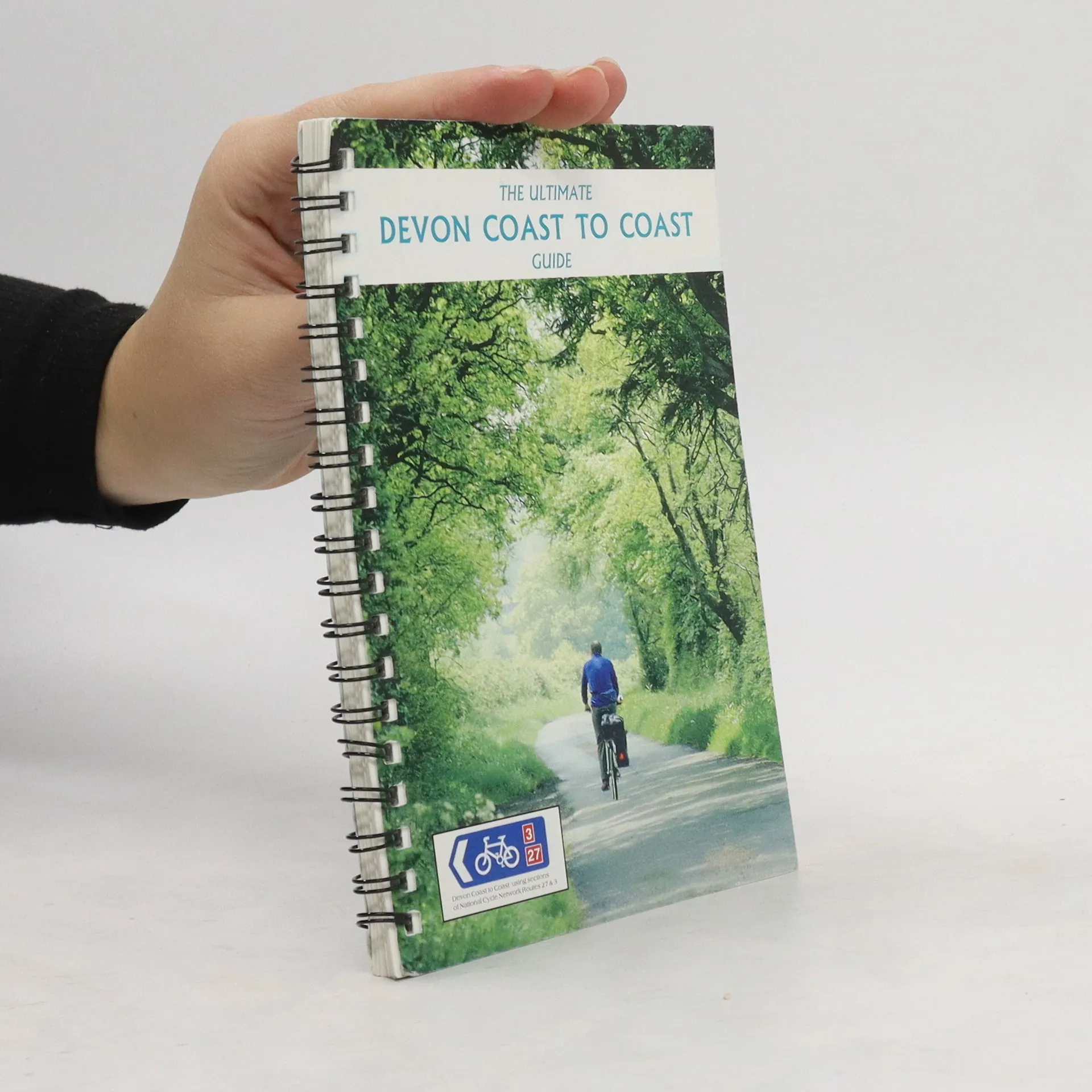
The official route map for the 99-mile (158km) Devon Coast to Coast cycle route between Ilfracombe and Plymouth.