
Ausverkauft, aber heiß begehrt!
The complete road atlas of Ireland = an tsuirbhéireacht ordanáis atlas bóithre na hÉireann eolai don tiománaí.
Autor*innen
- Autorenkollektiv
Buchbewertung
Mehr zum Buch
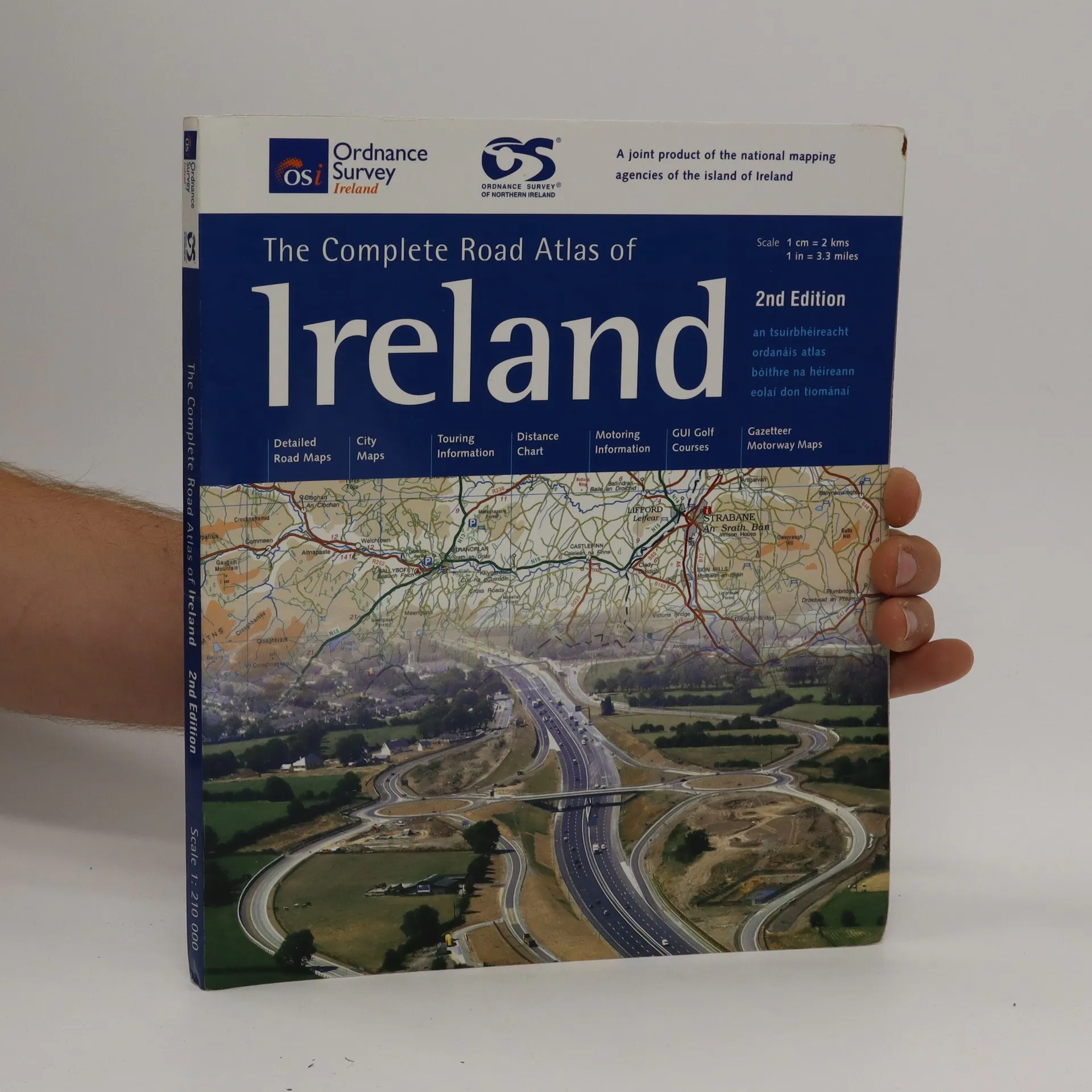
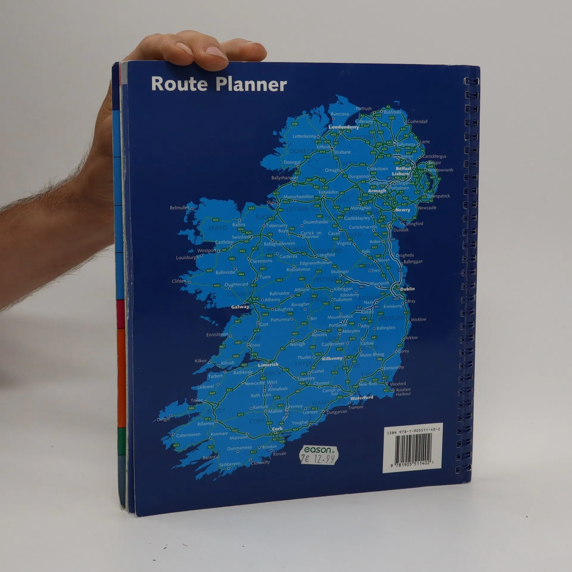
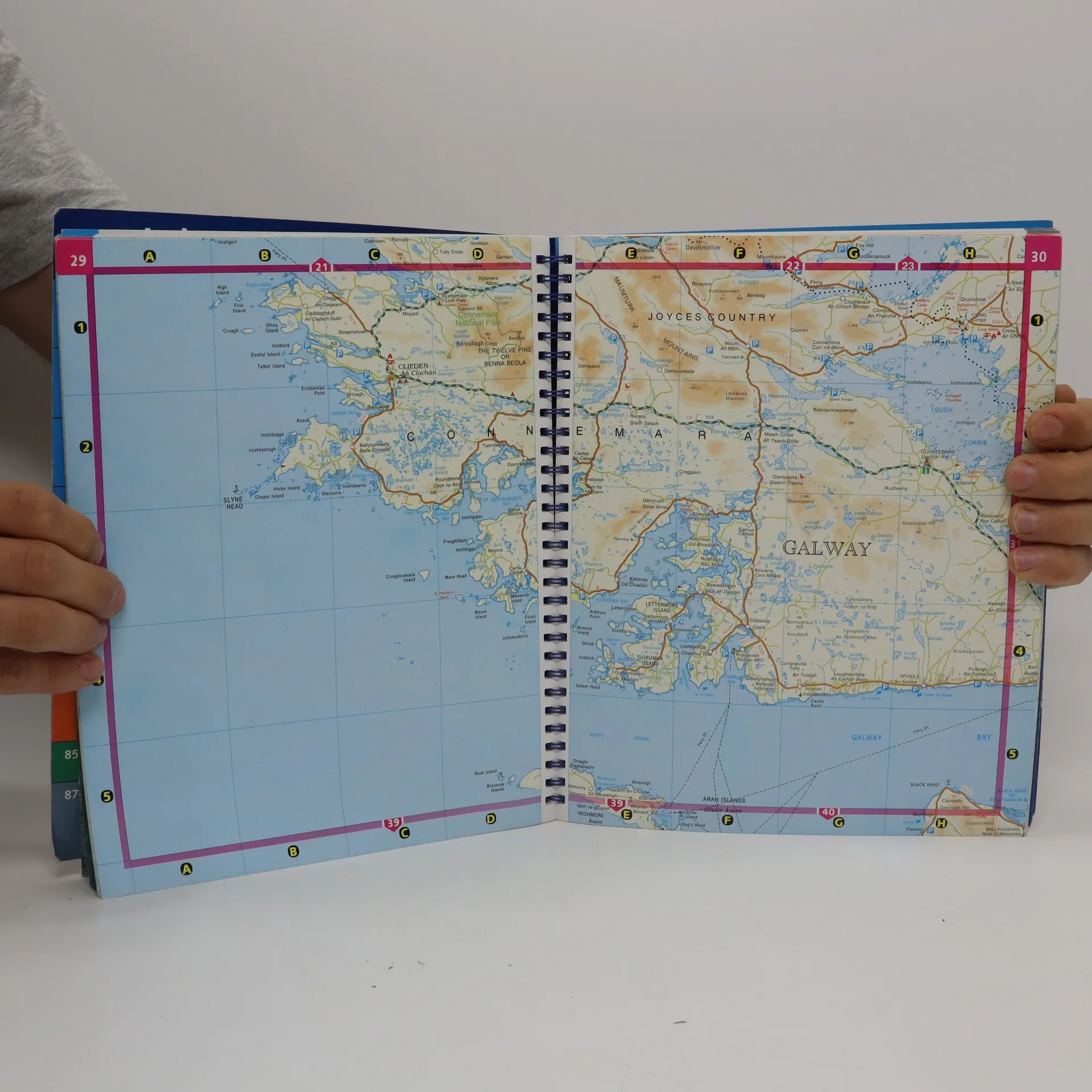
Spiral-bound atlas of Ireland that features detailed road maps at 1:210,000 scale (1 inch = 3.3 miles). Also includes city maps, touring and motoring information, distance chart, golf courses, and placename index. Cities maps of Dublin, Belfast, Cork, Londonderry, Armagh, Galway, Kilkenny, Limerick, Lisburn, Newry, and Waterford. Legend in Gaelic, English, French and German.
Buchkauf
The complete road atlas of Ireland = an tsuirbhéireacht ordanáis atlas bóithre na hÉireann eolai don tiománaí., Autorenkollektiv
- Sprache

- Erscheinungsdatum
- 2007
- product-detail.submit-box.info.binding
- (Spiralbindung)
Wir benachrichtigen dich per E-Mail.
Hier könnte deine Bewertung stehen.
- Titel
- The complete road atlas of Ireland = an tsuirbhéireacht ordanáis atlas bóithre na hÉireann eolai don tiománaí.
- Sprache
- Englisch
- Autor*innen
- Autorenkollektiv
- Erscheinungsdatum
- 2007
- Einband
- Spiralbindung
- Seitenzahl
- 107
- ISBN10
- 190551140x
- ISBN13
- 9781905511402
- Reihe
- Schlagwörter
- Sachbücher, Karten & Reisen, Karten & Atlanten
- Bewertung
- 4,5 von 5 Sternen
- Beschreibung
- Spiral-bound atlas of Ireland that features detailed road maps at 1:210,000 scale (1 inch = 3.3 miles). Also includes city maps, touring and motoring information, distance chart, golf courses, and placename index. Cities maps of Dublin, Belfast, Cork, Londonderry, Armagh, Galway, Kilkenny, Limerick, Lisburn, Newry, and Waterford. Legend in Gaelic, English, French and German.