

Ausverkauft, aber heiß begehrt!




Mehr zum Buch
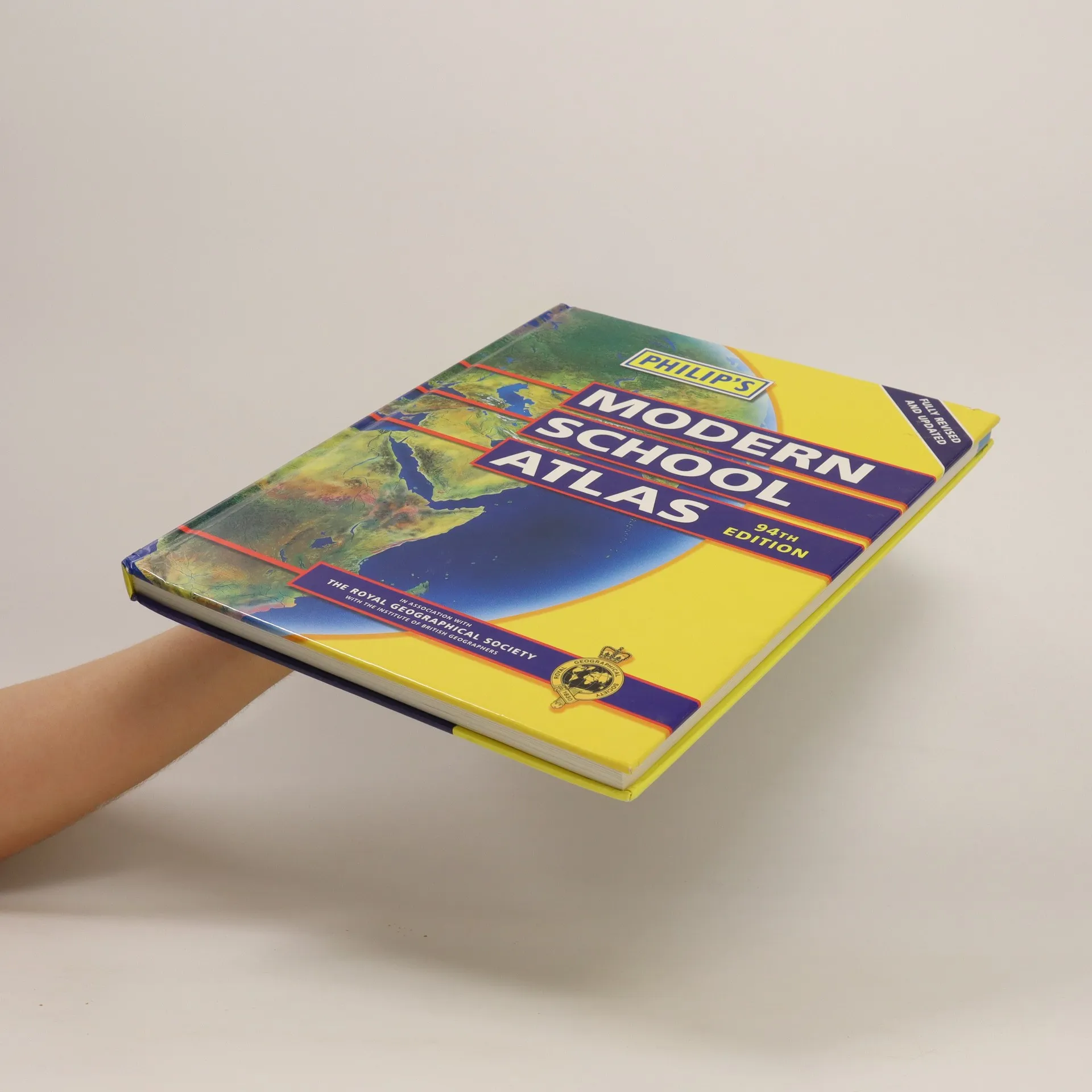
An essential reference work for secondary education (14-16 year olds) that is recommended for GCSE/A-level and Standard Grade Highers. This edition features a series of introductory spreads explaining latitude/longitude, scale, map projections, satellite imagery and remote sensing; a detailed 32-page British Isles section using maps, charts and statistics to explain key geographical, social and economic topics; 74 pages of world relief maps, incorporating continental thematic maps on topics such as climate, population and economics; and 38 pages of world thematic maps and statistics.


Buchkauf
Philip's modern school atlas, Autorenkollektiv
- Sprache

- Erscheinungsdatum
- 2003
- Einband
- (Hardcover)
Hier könnte deine Bewertung stehen.
- Sprache
- Englisch
- Autor*innen
- Autorenkollektiv
- Verlag
- Philip's
- Erscheinungsdatum
- 2003
- Einband
- Hardcover
- Seitenzahl
- 184
- ISBN10
- 054008087x
- ISBN13
- 9780540080878
- Reihe
- Schlagwörter
- Sachbücher, Karten & Reisen, Karten & Atlanten
- Bewertung
- 3,5 von 5 Sternen
- Beschreibung
- An essential reference work for secondary education (14-16 year olds) that is recommended for GCSE/A-level and Standard Grade Highers. This edition features a series of introductory spreads explaining latitude/longitude, scale, map projections, satellite imagery and remote sensing; a detailed 32-page British Isles section using maps, charts and statistics to explain key geographical, social and economic topics; 74 pages of world relief maps, incorporating continental thematic maps on topics such as climate, population and economics; and 38 pages of world thematic maps and statistics.