
Ausverkauft

Mehr zum Buch
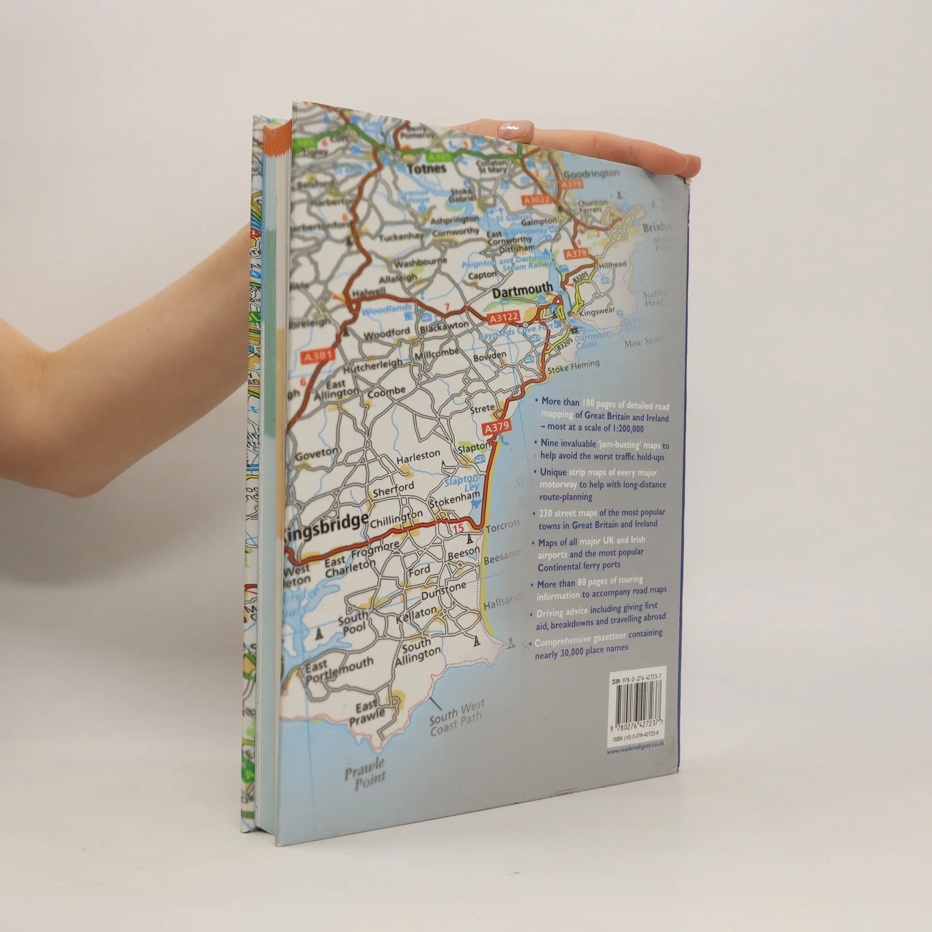
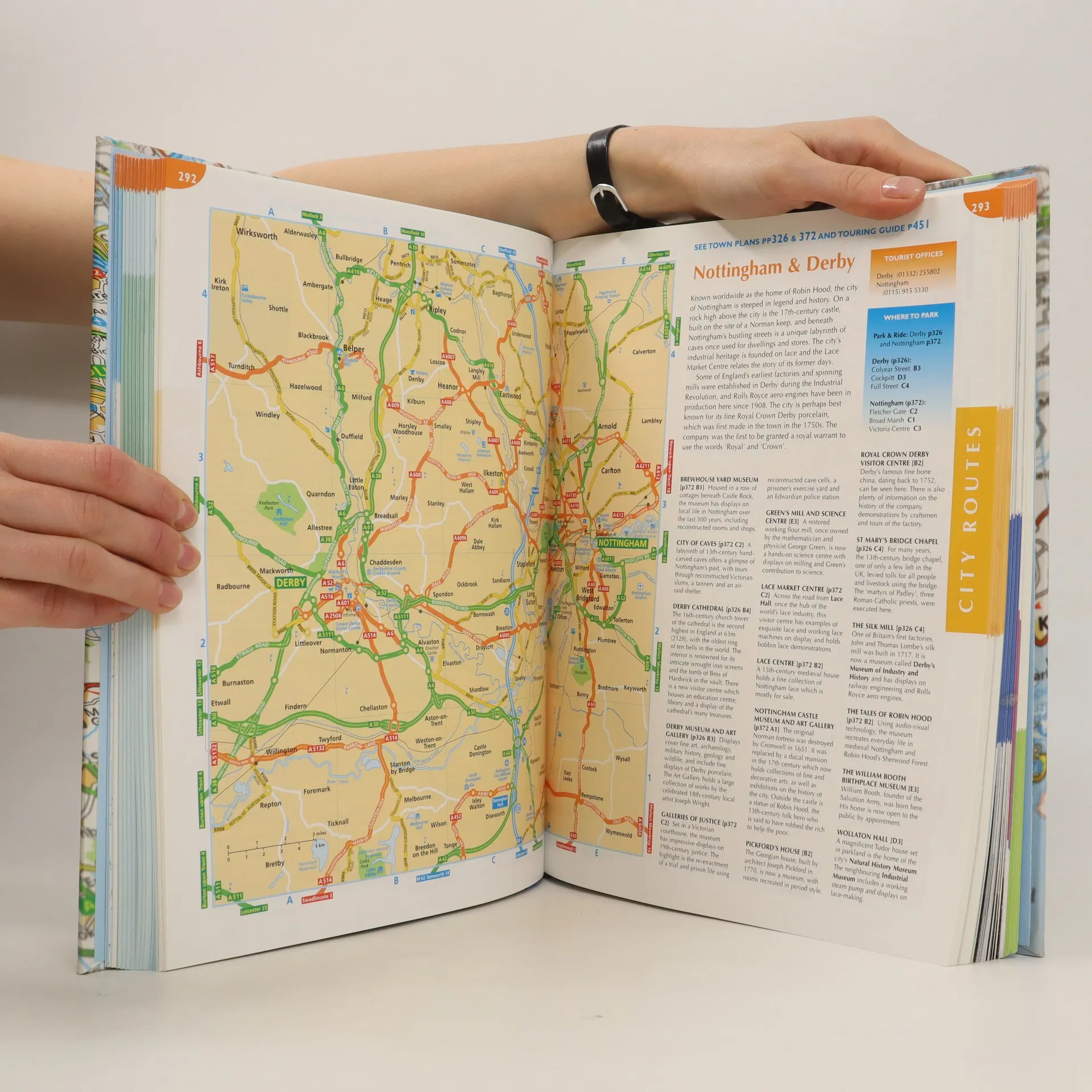
This atlas covers all of Britain and Ireland with the area around Calais and Boulogne as well. It shows motorways, primary routes, A-roads, B-roads, lanes and backroads. There are also plans of cities, towns (with park and ride schemes), airports, ferry ports, and extra-large-scale city route finders.
Buchkauf
The complete driver's atlas of Britain and Ireland, Autorenkollektiv
- Sprache

- Erscheinungsdatum
- 2007
- product-detail.submit-box.info.binding
- (Hardcover)
Wir benachrichtigen dich per E-Mail.
Hier könnte deine Bewertung stehen.
- Titel
- The complete driver's atlas of Britain and Ireland
- Sprache
- Englisch
- Autor*innen
- Autorenkollektiv
- Verlag
- Reader's Digest
- Erscheinungsdatum
- 2007
- Einband
- Hardcover
- Seitenzahl
- 568
- ISBN10
- 0276427238
- ISBN13
- 9780276427237
- Reihe
- Schlagwörter
- Sachbücher, Karten & Reisen, Karten & Atlanten
- Bewertung
- 4,35 von 5 Sternen
- Beschreibung
- This atlas covers all of Britain and Ireland with the area around Calais and Boulogne as well. It shows motorways, primary routes, A-roads, B-roads, lanes and backroads. There are also plans of cities, towns (with park and ride schemes), airports, ferry ports, and extra-large-scale city route finders.