
Ausverkauft

Mehr zum Buch
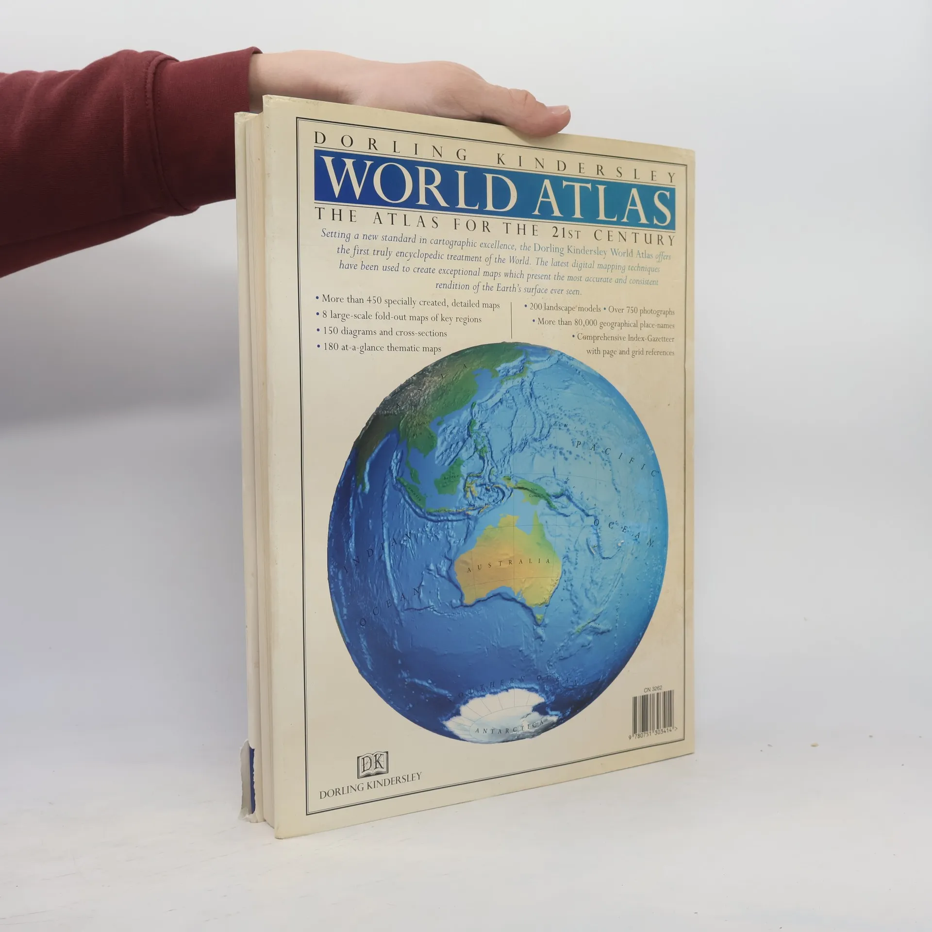
Setting a new standard in cartographic excellence, the 'Dorling Kindersley World Atlas' offers the first encyclopedic treatment of the World. The latest digital mapping techniques have been used to create exceptional maps which present the most accurate and consistent rendition of the Earth's surface ever seen. More than 450 specially created, detailed maps; 8 large-scale fold-out maps of key regions; 150 diagrams and cross-sections; 180 at-a-glance thematic maps; 200 landscape models; Over 750 photographs; More than 80,000 geographical place-names; Comprehensive Index-Gazeteer with page and grid references.
Buchkauf
Dorling Kindersley World Atlas,
- Sprache

- Erscheinungsdatum
- 1997
- product-detail.submit-box.info.binding
- (Hardcover)
Wir benachrichtigen dich per E-Mail.
Hier könnte deine Bewertung stehen.
- Titel
- Dorling Kindersley World Atlas
- Sprache
- Englisch
- Autor*innen
- Verlag
- DK Publishing
- Erscheinungsdatum
- 1997
- Einband
- Hardcover
- Seitenzahl
- 338
- ISBN10
- 0751303410
- ISBN13
- 9780751303414
- Reihe
- Schlagwörter
- Sachbücher, Karten & Reisen, Karten & Atlanten, Reisen, Atlasse, Weltatlasse, Kartografie
- Bewertung
- 5 von 5 Sternen
- Beschreibung
- Setting a new standard in cartographic excellence, the 'Dorling Kindersley World Atlas' offers the first encyclopedic treatment of the World. The latest digital mapping techniques have been used to create exceptional maps which present the most accurate and consistent rendition of the Earth's surface ever seen. More than 450 specially created, detailed maps; 8 large-scale fold-out maps of key regions; 150 diagrams and cross-sections; 180 at-a-glance thematic maps; 200 landscape models; Over 750 photographs; More than 80,000 geographical place-names; Comprehensive Index-Gazeteer with page and grid references.