
Mehr zum Buch
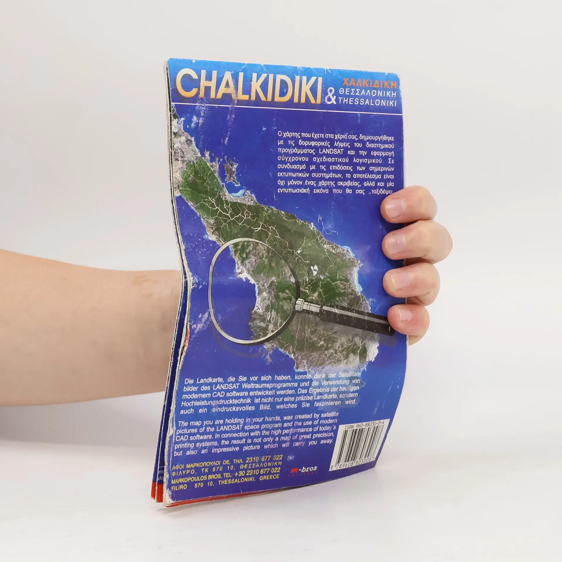
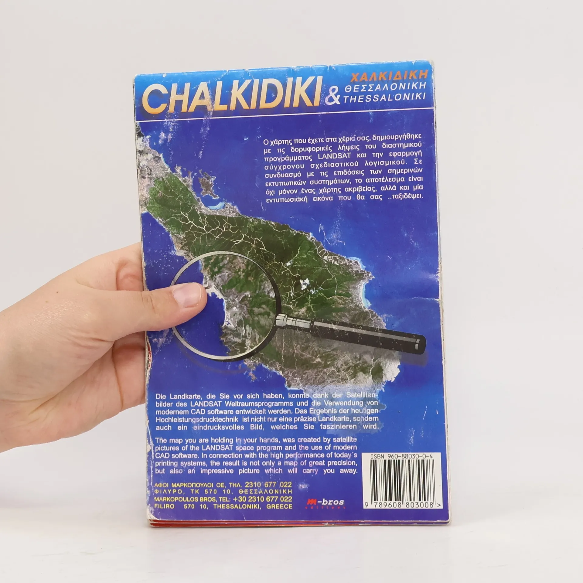
Ο χάρτης που έχετε στα χέρια σας, δημιουργήθηκε με τις δορυφορικές λήψεις του διαστημικού προγράμματος LANDSAT και την εφαρμογή σύγχρονου σχεδιαστικού λογισμικού. Σε συνδυασμό με τις επιδόσεις των σημερινών εκτυπωτικών συστημάτων, το αποτέλεσμα είναι όχι μόνον ένας χάρτης ακριβείας, αλλά και μία εντυπωσιακή εικόνα που θα σας ..ταξιδέψει. Die Landkarte, die Sie vor sich haben, konnte dank der Satellitenbilder des LANDSAT Weltraumsprogramms und die Verwendung von modernem CAD software entwickelt werden. Das Ergebnis der heugen Hochleistungsdrucktechnik ist nicht nur eine präzise Landkarte, sondern auch ein eindrucksvolles Bild, welches Sie faszinieren wird. The map you are holding in your hands, was created by satellite pictures of the LANDSAT space program and the use of modern CAD software. In connection with the high performance of today's printing systems, the result is not only a map of great precision, but also an impressive picture which will carry you away.
Buchkauf
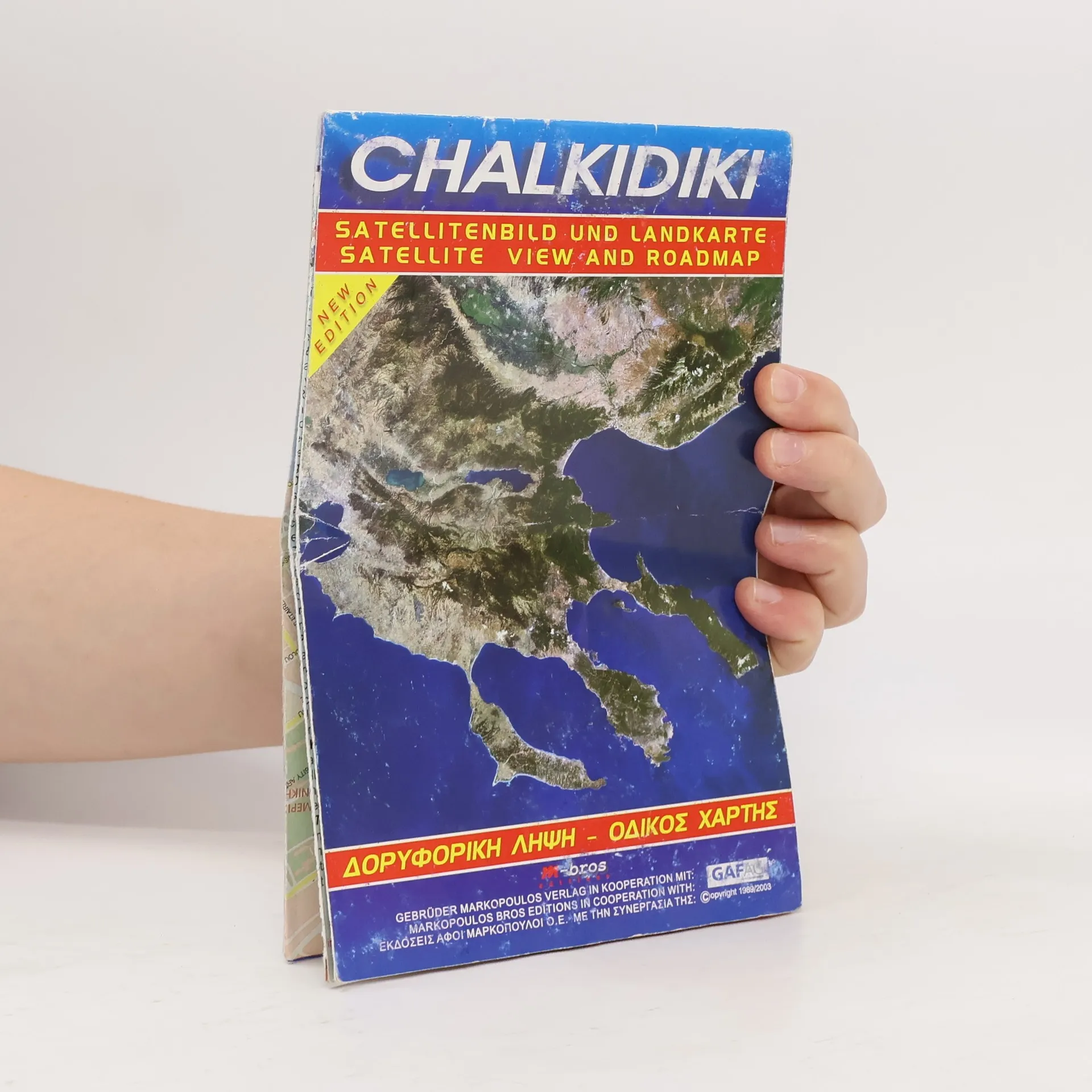
Chalkidiki, Autorenkollektiv
- Sprache

- Erscheinungsdatum
- product-detail.submit-box.info.binding
- (Flexobindung),
- Buchzustand
- Gebraucht - Gut
- Preis
- 1,99 €inkl. MwSt.
Keiner hat bisher bewertet.
- Titel
- Chalkidiki
- Untertitel
- Satellite view and roadmap
- Sprache
- Griechisch
- Autor*innen
- Autorenkollektiv
- Verlag
- MARKOPOULOS BROS
- Einband
- Flexobindung
- ISBN10
- 9608803004
- ISBN13
- 9789608803008
- Reihe
- Schlagwörter
- Sachbücher, Karten & Reisen, Natur, Reisen, Geografie & Landeskunde, Sonstige Geschichte, Ökologische Thematik
- Beschreibung
- Ο χάρτης που έχετε στα χέρια σας, δημιουργήθηκε με τις δορυφορικές λήψεις του διαστημικού προγράμματος LANDSAT και την εφαρμογή σύγχρονου σχεδιαστικού λογισμικού. Σε συνδυασμό με τις επιδόσεις των σημερινών εκτυπωτικών συστημάτων, το αποτέλεσμα είναι όχι μόνον ένας χάρτης ακριβείας, αλλά και μία εντυπωσιακή εικόνα που θα σας ..ταξιδέψει. Die Landkarte, die Sie vor sich haben, konnte dank der Satellitenbilder des LANDSAT Weltraumsprogramms und die Verwendung von modernem CAD software entwickelt werden. Das Ergebnis der heugen Hochleistungsdrucktechnik ist nicht nur eine präzise Landkarte, sondern auch ein eindrucksvolles Bild, welches Sie faszinieren wird. The map you are holding in your hands, was created by satellite pictures of the LANDSAT space program and the use of modern CAD software. In connection with the high performance of today's printing systems, the result is not only a map of great precision, but also an impressive picture which will carry you away.